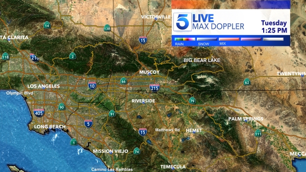
Use the interactive map below to track the storm in real-time.
The controls allow you to move the map, zoom in and out, and play a loop of the storm radar over the past several hours. Click on Layers on the bottom-right (diamond-shaped icons) to view the satellite-radar composite, precipitation totals, wind speed, lightning, and temperature readings, among other tools.
Kay is expected to bring strong wind gusts, heavy rain, and potential flooding to Southern California as it moves over the region and into the Pacific Ocean.
The National Hurricane Service is predicting the storm will dump “several months to a year’s worth of rain” in parts of Southern California.
Tap here for KTLA’s in-depth coverage of the storm.
Maps, Radar and Other Data
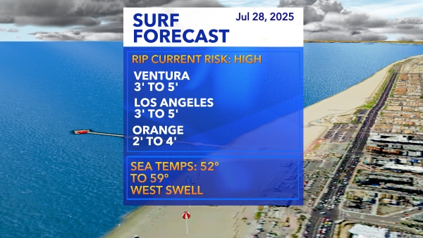
Surf Report (Stats by Solspot)

Los Angeles Virtual Doppler
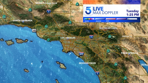
Southwest Doppler Radar
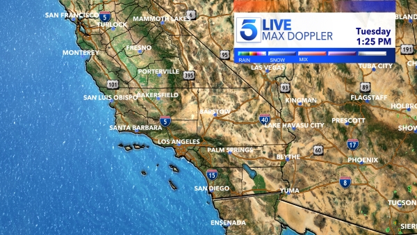
California Satellite Radar

Los Angeles Basin Radar
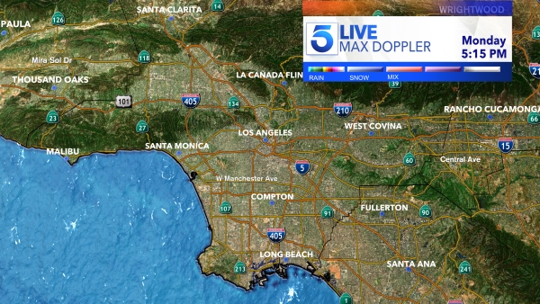
Orange County Radar
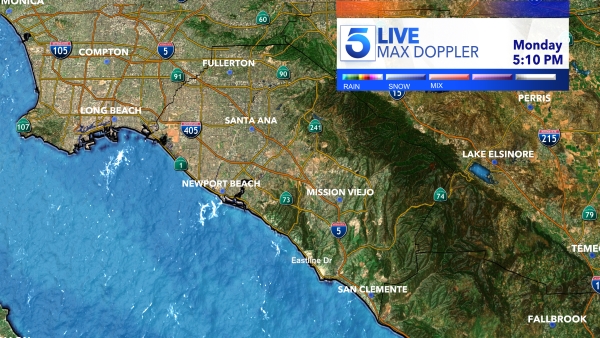
Inland Empire Radar
