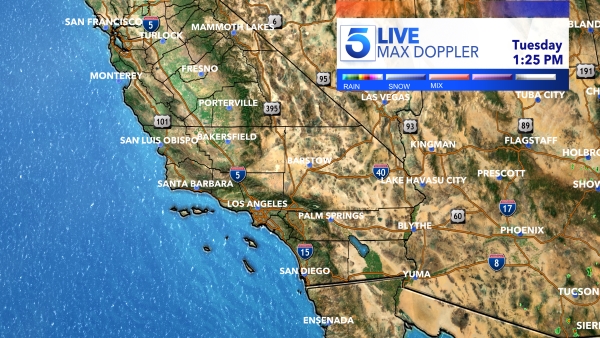
As a storm makes its way to Southern California, many residents are preparing as a major flood watch was issued for multiple counties.
“This rain for us is going to be very beneficial especially because we are going to see multiple days of it,” said KTLA Meteorologist Vera Jimenez.
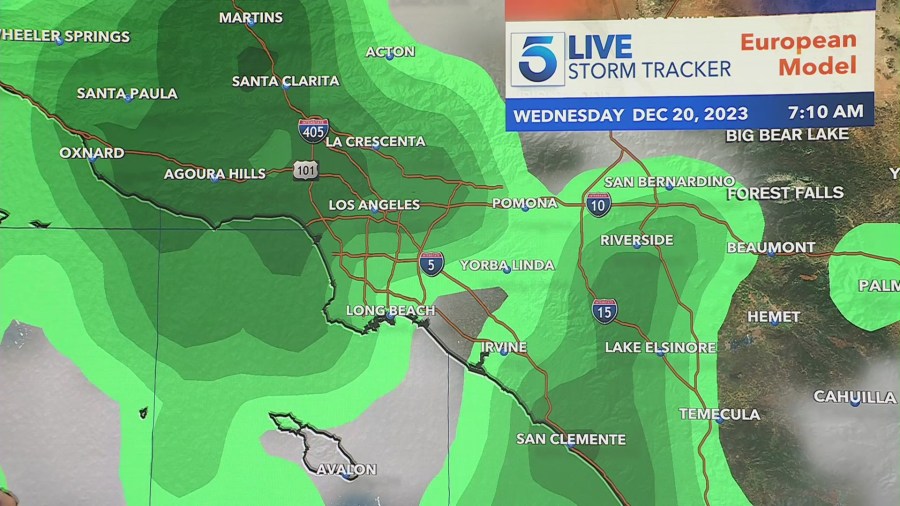
Scattered showers have already arrived for some areas and more significant rainfall is expected to arrive late Tuesday night into early Wednesday morning.
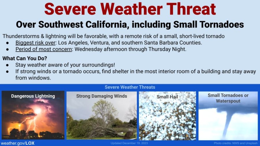
“Thunderstorms and lightning will be favorable with a remote risk of a small, short-lived tornado,” said the National Weather Service. The counties most at risk include Los Angeles, Ventura and Santa Barbara counties.
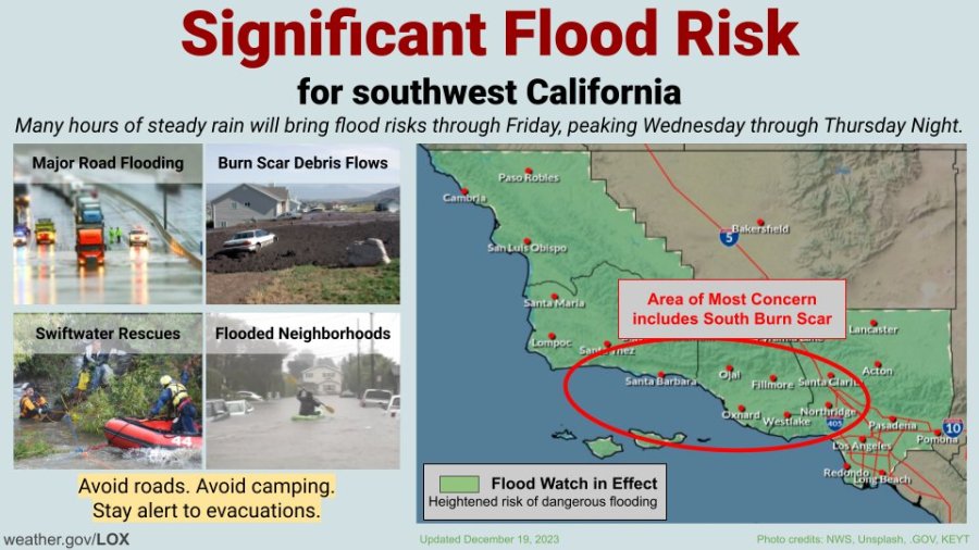
Residents living in recent burn scar areas are preparing for major flooding and mudslides that may threaten homes and even lives.
Officials in Duarte put up K-rails near Mel Canyon on Tuesday, an area known for destructive mudslides.
“It flooded the entire street,” said Brian Olivas, a Duarte resident. “That’s why we have the wall put in right there. The [mudslide] tore up my front yard, boulders were down the street.”
Olivas lives down the street from where the Fish Fire in June 2022 torched foothills, leaving the soil unsettled which prompted major mudslides during storm seasons since,
“They had the K-rails at the time and the mud built up above the K-rails,” Olivas said.
Although some neighbors said the K-rails create an inconvenience with parking, many agreed they were necessary.
“I think they took them out for a brief period but then they got scared again because there was another smaller fire, so kind of feels like we got Formula 1 here, like we’re in Long Beach or something,” said Lynn Stone, a neighbor.
City officials believe the hillsides should hold in place during the incoming storm.
“We look at it from a very localized level,” explained a Duarte city official. “We look at what has happened in prior rainstorms, as well as what the vegetation growth looks like and we’ve looked at those factors and identified that there’s a lot of growth in the area so we feel pretty confident that the vegetation is going to hold back a lot of the soil and less erosion will occur. Therefore, there will be less debris and mudflows.”
Back in January, the historic winter storms brought a ton of destruction to the Southland but public safety officials said this upcoming storm is expected to arrive with much less intensity.
In July 2023, after a massive landslide destroyed a dozen homes and forced widespread evacuations in Rolling Hills Estates, a new report said excessive rainfall from the historic winter storms was to blame for the destruction.
Many Rolling Hills Estates residents have not recovered from that landslide and are concerned this incoming storm may cause even greater damage.
“I am concerned about some of the landslides,” said David Hannauer, a resident. “We’ve had a recent history of pretty big landslides and I hope it doesn’t get worse. On the other hand, it’s nice to get rain in Southern California so I guess it’s a mixed blessing.”
NWS said those who live in flood-prone areas should prepare for hazardous conditions including excessive flooding of major roads, neighborhood streets, creeks, streams, general debris flow and rockslides.
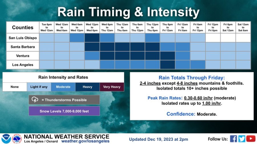
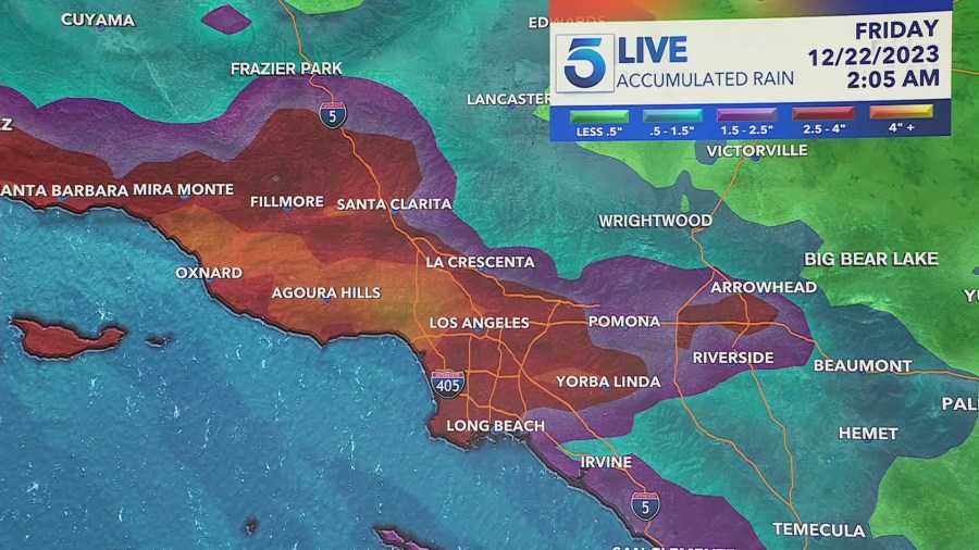
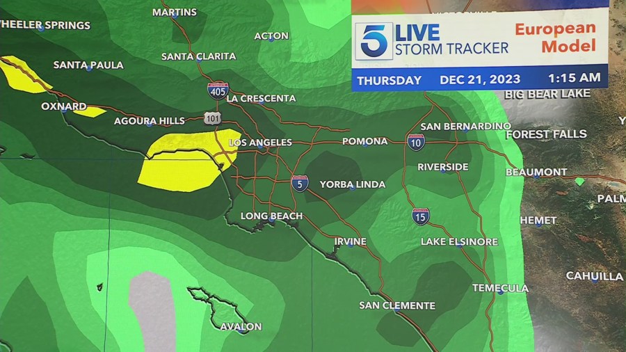
Gusty, damaging winds anywhere from 30 to 60 miles per hour are expected. Around two to four inches of total rain is expected in L.A. County and around four to eight inches in the mountains and foothills.
A Flood Watch was issued for L.A., Ventura, Santa Barbara and San Luis Obispo counties from, Tuesday night at 10 p.m. until Friday morning at 4 a.m. Sandbags will be available at local fire stations.
Snowfall is also expected at higher elevations in the 7,500 to 9,000-foot range, according to NWS.
