Weak rain in parts of the Southland could serve as the opening act to the following weekend’s main event storm that’s expected to bring “cold and dynamic” weather, according to the National Weather Service.
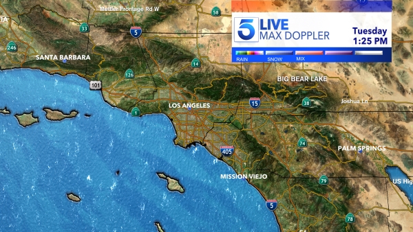
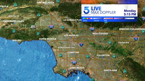
As of Friday, the NWS forecast predicted less than two-tenths of an inch of rain on Monday in areas including Los Angeles, Long Beach, Santa Clarita, Northridge and Westlake. Totals slightly above two-tenths of an inch were in the forecast in Pasadena, Ojai, Santa Barbara and Lompoc.
There is potential for light snow on the Grapevine on Monday, the NWS said.
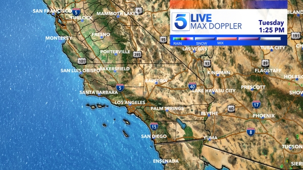
The cooling trend on Monday will continue throughout the week but Southern California should remain dry from Tuesday to Thursday, weather officials predict.
However, the brunt of the storm is expected to come on the weekend, according to early NWS projections.
“That next system looks as though it will be a cold and dynamic one,” a NWS bulletin posted Saturday reads. “At this point, its exact track is a bit uncertain.”
Although it wasn’t clear which parts of Southern California could be hit the hardest, potential for at least moderate rain and mountain snow exists on Friday and Saturday.

