Get ready for more rain.
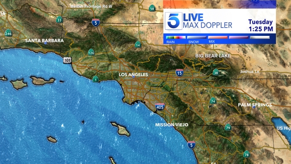
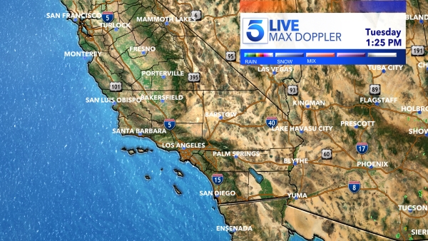
Another atmospheric river event is expected to bring heavy amounts of rainfall to Southern California on Tuesday into Wednesday, and the National Weather Service is warning that more flooding is possible.
“We’re not just talking about a little shower passing through. We’re talking about a significant 24-hour storm,” said KTLA weather anchor Kacey Montoya.
Rain begins to arrive early Tuesday morning and will increase in intensity throughout the day.
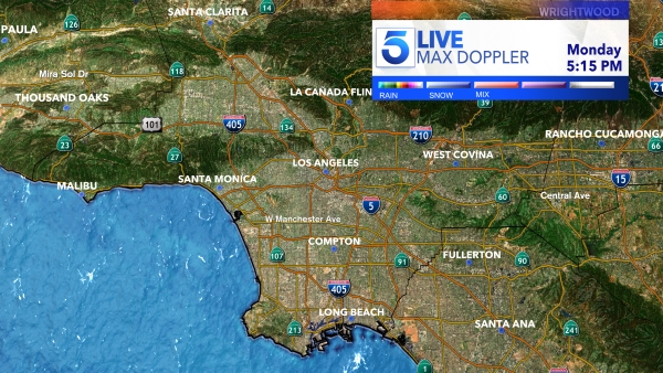
“During peak rainfall around midday, some areas of the Los Angeles metro area will receive a half-inch to an inch of rain per hour,” Montoya said.
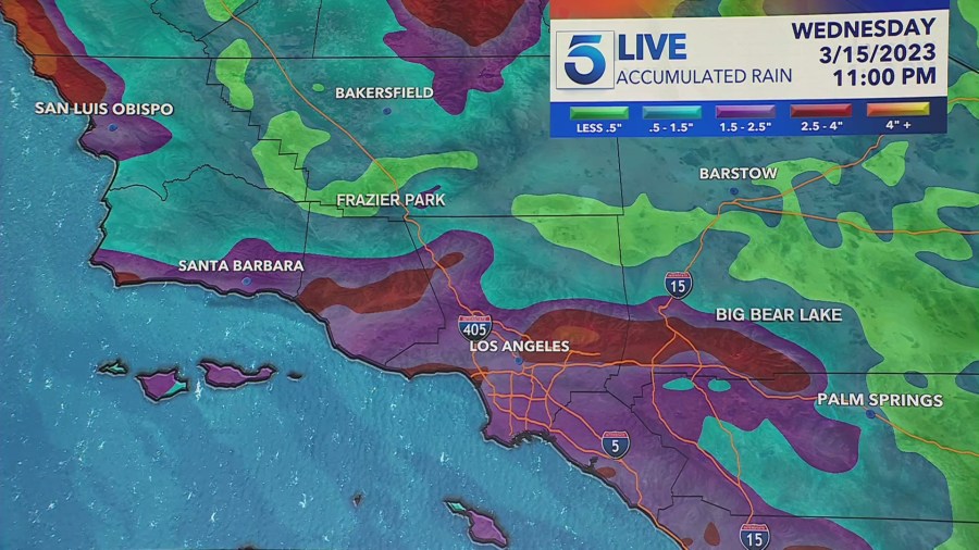
The NWS is forecasting rainfall totals of two to four inches for coastal areas and valleys, and three to six inches in the foothills. The mountains of southeastern Santa Barbara County and western Ventura County may see as much as seven inches of rain.
“There will likely be widespread and significant roadway flooding across the region from this storm, but there may also be more significant flooding, with mud and debris flows, rockslides, and some flooding of creeks and rivers,” NWS said.
The storm is also expected to bring wind gusts of 20 to 50 miles per hour – strong enough to topple trees that have already been weakened by rain-soaked ground.
Aside from a few weeks in January, Southern California has been inundated by storm after storm since December, pushing rain and snowfall totals well above seasonal averages. As a result, many parts of California are no longer experiencing drought conditions.
