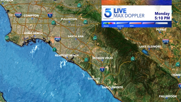
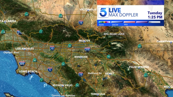
A powerful storm that battered Oregon and the San Francisco Bay area earlier in the day began moving into Southern California Thursday night. The storm was expected to bring heavy rainfall, damaging winds, towering waves, dangerous lightning and possible flash flooding.
The storm threat prompted both mandatory and voluntary evacuation orders in multiple areas, where residents in burn areas spent the day stacking sandbags in hope of minimizing flood and mud damage.
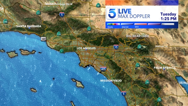
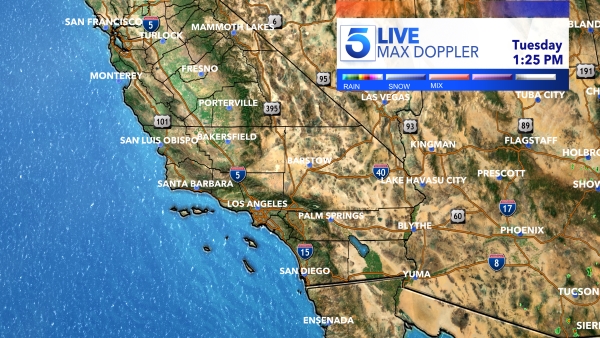
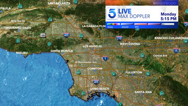
Forecasters predicted the “strong storm” could dump up to 4 inches of rain in mountain and foothill areas and up to 2 inches in the coastal and valley areas of L.A. and Ventura counties, the National Weather Service said.
As a precaution, all bike trails along flood control channels south of downtown LA were set to close at 5 a.m. when the heaviest rainfall was expected to move into the area, according to a tweet from the LA County, Public Works.
Orange County and the Inland Empire were expected to receive less precipitation but also see high winds and possible flooding.
Federal forecasters warned of possible “severe weather damage” during the peak of the storm, which should last about two hours early Friday.
Rain rates up to 1 inch per hour, lightning, & damaging winds tonight. If possible, avoid parking under trees! #LArain #cawx
— NWS Los Angeles (@NWSLosAngeles) December 11, 2014
Thunderstorms capable of producing heavy rain showers, hail and small tornadoes were also possible. Flash flooding, mudslides and debris flows could affect recent burn areas, the weather service stated.
Flash-flood watches were in effect through Friday evening for burn areas in L.A., Orange and Ventura counties.
Residents in the Riverside County city of San Jacinto were facing a mandatory evacuation order that was set to go into effect at 4 p.m. Thursday. The Valley View Apartments — in the same area that saw mud and debris flow during last week’s storm — were under the order. A portion of Soboba Road was also set to be closed.
MANDATORY EVACUATION ORDER FOR SELECT SAN JACINTO RESIDENTS from Riverside County Sheriff's… http://t.co/KPrAMMvHcc
— San Jacinto Police Department (@SanJacintoPD) December 11, 2014
In anticipation of the storm, the Glendora Police Department on Thursday morning raised its alert level to orange for the Colby Fire Impact Area, meaning voluntary evacuations were recommended. As expected, police raised the level to “red” at 10 p.m., when mandatory evacuations were required for several streets.
RED Level in effect at 10 p.m. PD will be making PA announcements in the Colby Impact Area requesting evacuations. http://t.co/Mp5B3ZDbgQ
— GlendoraPD (@Glendora_PD) December 12, 2014
“This alert status shall remain in place until City officials determine the risk to life and property from debris and mudflows has subsided sufficiently, according to a statement from Glendora police.
The Colby Fire Impact Area included all properties north of Sierra Madre between the western city boundaries of Azusa/Glendora (Yucca Ridge) to the eastern boundary of properties on the west side of the Little Dalton Wash (near Loraine Ave), the statement read.
“If conditions become too unsafe to evacuate, move to the highest safe place inside of your residence and shelter in place,” the department stated on Facebook.
An evacuation center was opened at the Crowther Teen Center at 241 W. Dawson Ave., located just west of Glendora Avenue and south of the 210 Freeway), the statement read.
Goddard Middle School in Glendora was set to be closed Friday because of the storm.
A voluntary evacuation order was also issued by the Ventura County Sheriff’s Office in Camarillo Springs, where mudslides were a major concern last week. The area is near the Springs Fire, which burned nearly 38 square miles in May 2013.
The Red Cross shelter was located at 1200 Leisure Village Drive.
#RedCross shelter is open at 1200 Leisure Village Dr., 93012 for #CamarilloSprings residents. Latest info: http://t.co/eKzu5pajJg
— Red Cross Central California (@RedCrossCCR) December 12, 2014
The rain, which comes a little over a week after a dayslong storm that broke rainfall records in some part of Southern California, was expected to taper off by Saturday morning.
In addition to rain and possible flooding, the storm was expected to bring snow showers at the 5,000 foot-level in mountain areas on Friday, with some stronger showers capable of bringing flurries as low as 4,000 feet.
A winter weather advisory was in effect in San Bernardino County, where 2 to 4 inches of snow were forecast at elevations between 6,000 and 7,000 feet.
Forecasters were warning of strong, potentially damaging winds that could bring gusts of up to 70 mph in the mountain areas of Ventura and L.A. counties. A high wind watch was also in effect in the mountain and desert areas of San Bernardino County through Friday morning.
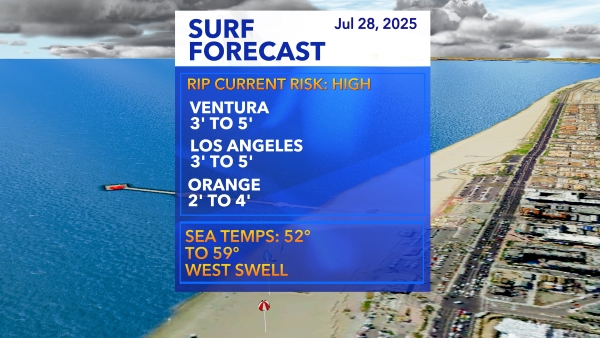
In Orange County, the storm was forecast to generate large west-to-northwest swells through the weekend, with large surf as high as 14 feet possible along west-facing beaches, according to the weather service.
The elevated surf could bring rip currents and create hazardous swimming conditions, forecasters warned.
The surf was expected to subside early next week.
More video:
