A slow-moving storm system dropped several inches of rain on parts of Ventura County, causing widespread flooding and even a tornado warning Thursday morning.
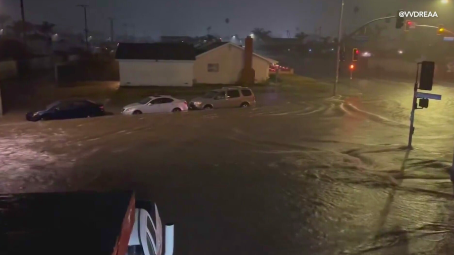
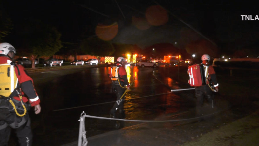
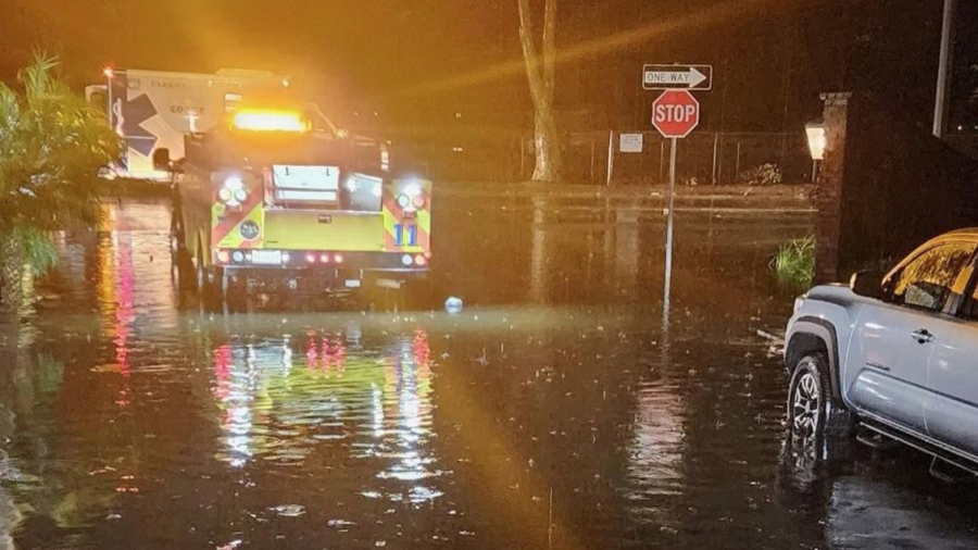
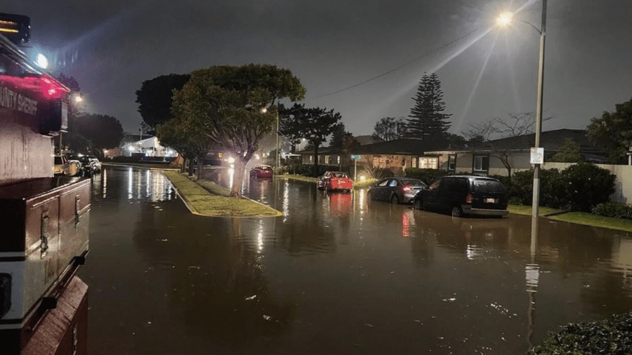
So much rain accumulated in areas of Oxnard, Port Hueneme and Ventura that first responders had trouble responding to reports of flooding at some homes and businesses.
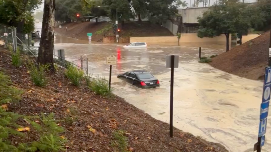
Video showed several feet of water left vehicles stuck at the intersection of West Channel Islands Boulevard and South J. Street Thursday morning.
The Oxnard Fire Department issued a message for drivers to stay off the streets if possible.
“Please stay off the city streets for the next several hours until the water recedes. Standing water can cause vehicles to stall and may become trapped,” the Fire Department posted on X, formerly Twitter, just before 3 a.m.
The rain was so intense that the Weather Service issued a tornado warning for Oxnard and Ventura shortly before 1:30 a.m. There was no indication that a tornado ever touched down.
At one point, more than 3 inches of rain fell in one hour at some locations.
Homes in Port Hueneme ended up being evacuated due to flooding from the powerful system.
An emergency shelter was opened at Oxnard College Gymnasium located at 4000 S. Rose Ave. in Oxnard for residents who evacuated their homes due to the flooding.
In Santa Barbara, flooding prompted officials to close several off-ramps on the southbound 101 Freeway, including Garden Street, Castillo Street and Mission Street.
There was no time estimate for when they would reopen.
The rain did slow down for a while Thursday morning but the storm isn’t finished.
“You may get a little pause, a little pocket of clearing … but it does come back,” KTLA Meteorologist Henry DiCarlo said.
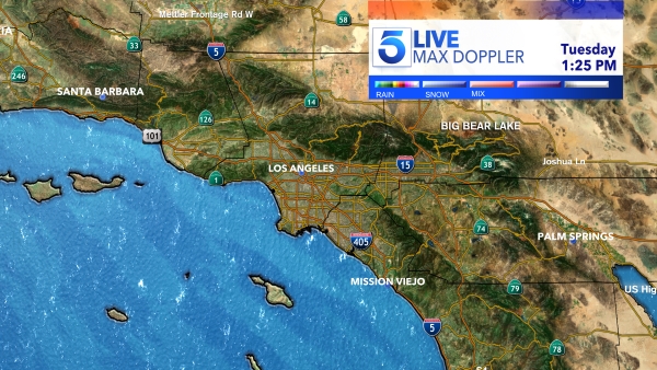
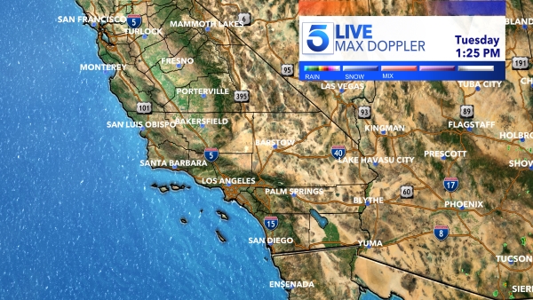
Another round of heavy rain hits the area Thursday and could continue into Friday before drier conditions arrive for the holiday weekend, Henry said.
