Although Hilary is not expected to have hurricane strength when it makes landfall in California this weekend, remnants of the powerful storm are still expected to bring several inches of rain to the region.
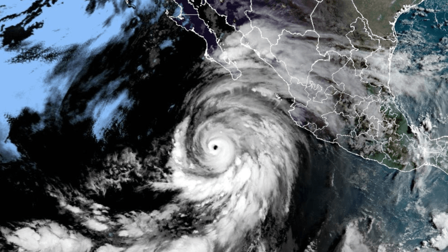
Currently a Category 4 hurricane, Hilary is forecast to head north through Baja California before making its way into the Southland.
“A hurricane is not hitting us … keep that in mind. It will dissipate by the time it moves into California. But, we’re going to get a big storm pushing through,” says KTLA meteorologist Henry DiCarlo.
Southern Californians should start to feel the remnants of Hilary on Saturday as cloud coverage increases and light rain starts to fall. Stronger showers are expected to move in on Sunday with the heaviest rain forecast to fall late Sunday into Monday.
Some rain could even continue into Tuesday but the unpredictability of Hilary makes forecasting difficult, Henry said.
“They (hurricanes) are not attached to any driving force, meaning the jet stream,” Henry said.
The storm could arrive a little sooner or a little later. It could move to the east or west, which would give us less rain, he said.
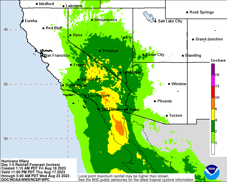
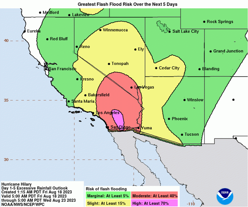
Based on Hilary’s current track, two to three inches of rain are expected to fall in most coastal areas of Southern California. Inland deserts and mountains, however, are poised to get drenched by over four inches and up to ten inches of rain.
Expect flood watches and warnings through Monday.
The storm should also pack a punch with strong winds and bring cooler temperatures to the Southland.
“It will be like combining one of our major winter storms with a major Santa Ana event,” Henry said.
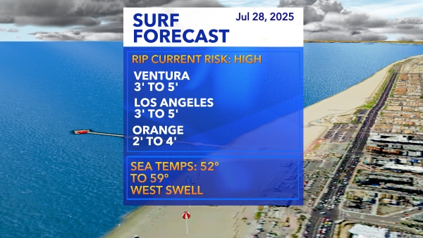
The storm will also generate high ocean swells of four to seven feet across southeast and south-facing beaches Sunday and Monday, NWS said.
