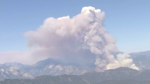
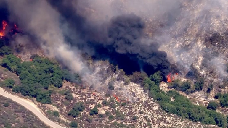
A wildfire burning in the Angeles National Forest north of Glendora on Friday grew to more than 1,800 acres amid triple-digit temperatures, leaving at least four structures destroyed by flames and two firefighters evacuated due to heat exhaustion.
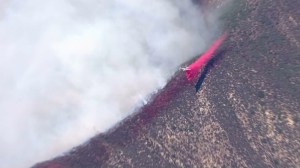
The blaze began at 1:07 p.m. about 3 miles north of Rincon Red Box Road and San Gabriel Canyon Road and was burning in very steep and rocky terrain, according to Justin Seastrand of the Angeles National Forest.
Glendora police described the fire’s location as 1 mile north of the Burro Canyon Shooting Park (map), north of the San Gabriel Reservoir.
The blaze, dubbed the Cabin Fire, prompted mandatory evacuation orders for two cabins near State Route 39 in the sparsely populated area, and in two campgrounds. No evacuation center had been set up.
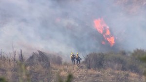
Two firefighters were evacuated due to heat exhaustion, the Angeles National Forest said about 5:30 p.m.
About 6:15 p.m., the fire was described on the Cabin Fire incident page on the federal wildfire website InciWeb as 900 acres and 0 percent contained.
Less than two hours later, it had doubled in size to 1,800 acres and remained at 0 percent containment.
About 400 fire personnel were on the ground, Forest Service Specialist Andrew Mitchell said.
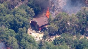
Earlier in the day, shortly after the fire broke out, aerial video from Sky5 showed at least one structure burning, with black smoke rising from the building.
Fire officials on scene said three cabins and one outbuilding had burned.
“Our main concern is structure defense. There has been a few structures that have been consumed in fire,” said Deputy Chief John Tripp of the Los Angeles County Fire Department.
Multiple helicopters and at least one fixed-wing aircraft appeared to be responding, Sky5 video showed.
Mandatory evacuations were ordered up State Route 39 to Angeles Crest Highway, the Sheriff’s Department announced on Twitter. More than 40 people have been evacuated from the Cold Brook, Crystal Lake and Little Jimmy campgrounds, a separate tweet from the department stated.
It was 104 degrees in the region at mid-afternoon, according to the National Weather Service.
State Route 39 was closed at the north end of Azusa, at Old San Gabriel Canyon Road (map), Azusa police announced, citing the California Highway Patrol. The closure would last for “an indefinite period of time.”
County firefighters were assisting Forest Service firefighters.
Police in Azusa and Glendora sent advisory messages to residents saying the blaze was not threatening either city. The wind was blowing the fire north, away from foothill communities, according to both departments.
Winds were around 15 mph, with gusts as high as 25 mph, according to InciWeb.
More Video:


