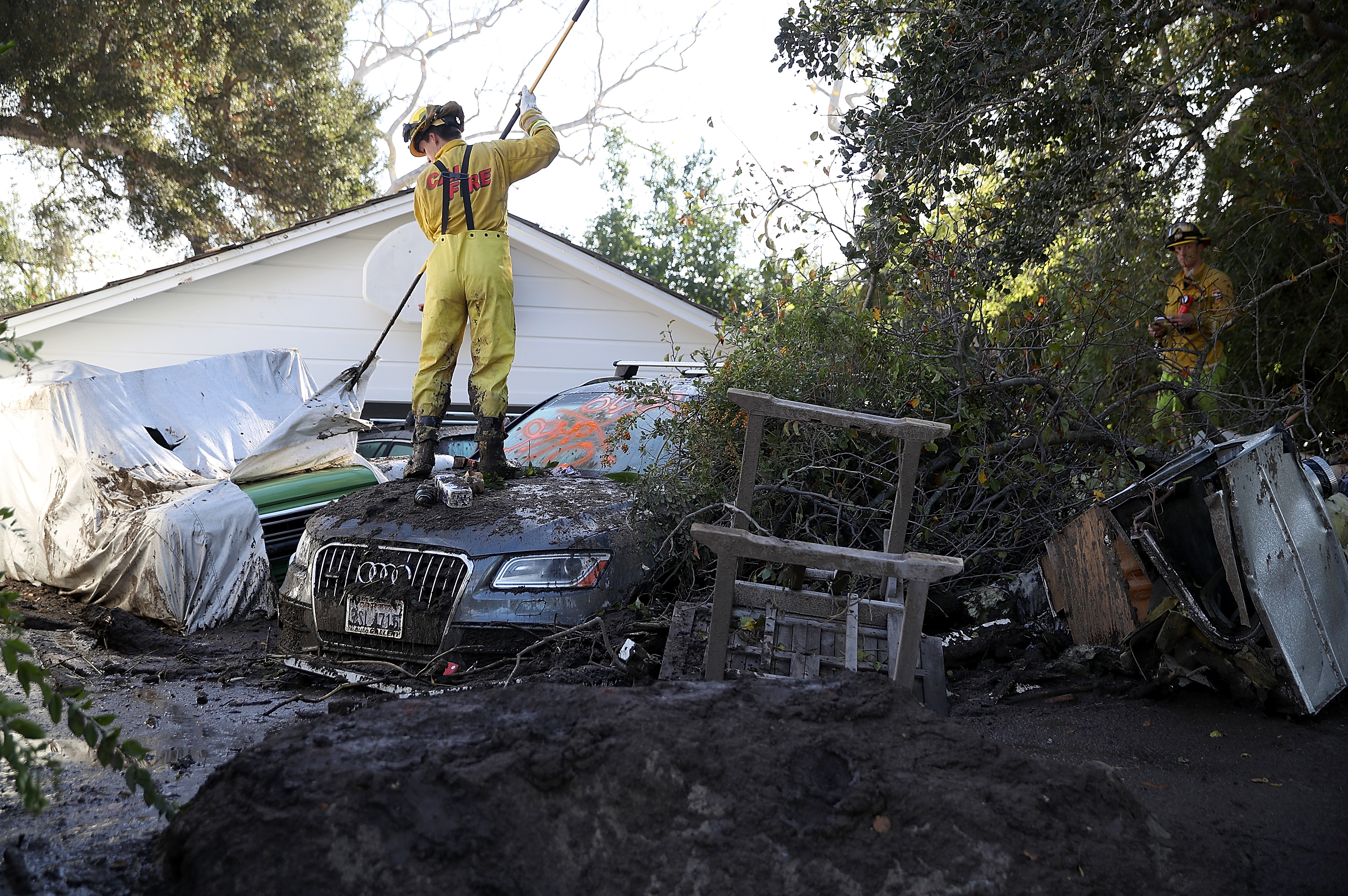
In the days before deadly mudslides devastated Montecito, Santa Barbara County officials released conflicting evacuation instructions that left some hard-hit neighborhoods out of the warning zone.
The Santa Barbara County Sheriff’s Office posted on its website and on Facebook a list of voluntary and mandatory evacuation areas for the town. But a separate map on the county’s main website included a larger voluntary evacuation zone that included dozens of homes not covered by the sheriff’s list.
Of the 21 people killed in the mudslide, at least a dozen lived in areas that were covered by the county’s evacuation map but not included in the Sheriff’s Office warnings, according to records and data reviewed by the Los Angeles Times.
In response to questions from The Times, Santa Barbara County emergency officials acknowledged the discrepancy while emphasizing the many other measures officials took to warn residents of an approaching storm that caused the mudslides, including emails, social media alerts, press releases and even deputies going door to door in some areas.


