After days of unseasonably warm weather, it’s finally going to start feeling more like winter — at least by Southern California standards.
But perhaps more important, much-needed rain is in the forecast, courtesy of back-to-back weather systems, at a time when the region is slipping deeper into drought.
A significant shift in the weather pattern is expected to bring cooler temperatures, cloudy conditions and showers to the Southland as early as Friday, the National Weather Service said.
Thursday will mark the last day of 70-plus-degree weather for at least the next week, according to the forecast. There will also be multiples chances of rain, the first coming Friday.
Between then and Saturday, temperatures are predicted to plummet into the 50s and low 60s, the forecast for L.A. and Ventura counties showed.
Scattered showers are possible, but the storm isn’t anticipated to bring much rain — just about one-tenth to one-third of an inch of rain.
During the period, light snow is possible in the mountain areas, with snow levels dropping as low as 4,000 feet.
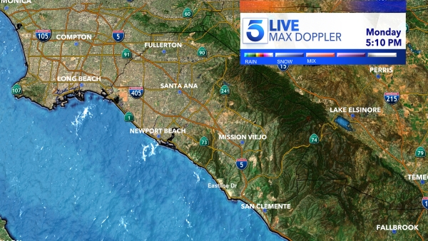
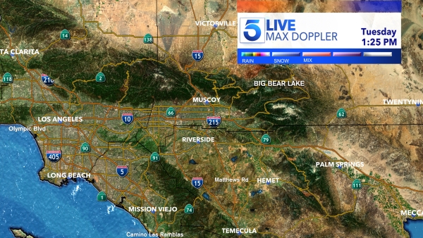
In Riverside, Orange and San Bernardino counties, rain and mountain snow are possible on Saturday but will likely taper off Sunday morning, according to the NWS.
A second weather system will bring the possibility of additional rain along with mountain snow at lower elevations from Sunday night through Tuesday.
Forecasters warned that the storm could have a “major impact” on Monday and Tuesday,” bringing widespread rain and significant snow in the mountains.
“It’s going to be chilly too this weekend and early next week. Break out those winter coats!” NWS’s San Diego Twitter account stated.
The wet weather will be a welcome change to a region that has thus far experienced a dry winter, with conditions steadily deteriorating into drought amid the ongoing La Niña climate pattern.
La Niñas typically lead to dry conditions in Southern California, climatologist Bill Patzert told the Los Angeles Times back in September.
Forecasters with the National Oceanic and Atmospheric Administration predicted in the fall that the pattern would last through winter.
So far this season, there’s been little rain in the Southland. The latest drought map showed much of the region experiencing moderate drought in Ventura and much of L.A. County, with conditions worsening further inland. Parts of Riverside and San Bernardino counties are already mired in severe to extreme drought.
Drought exists in some stage in approximately 95% of the state, according to the latest report from the federal drought monitor.
Comparatively, the state was drought-free at this point last year, with less than 4% considered abnormally dry.
And in the Sierra Nevada, the snowpack levels from north to south are all well below normal for this time in January. That’s due to dry and record warm conditions, according to Daniel Swain, a climate scientist at UCLA.
“But these numbers will improve–perhaps significantly–as multiple cold storms arrive this weekend into next week,” Swain tweeted.
The snowpack is a key source of water for the state, accounting for approximately 30% of California’s supply.

