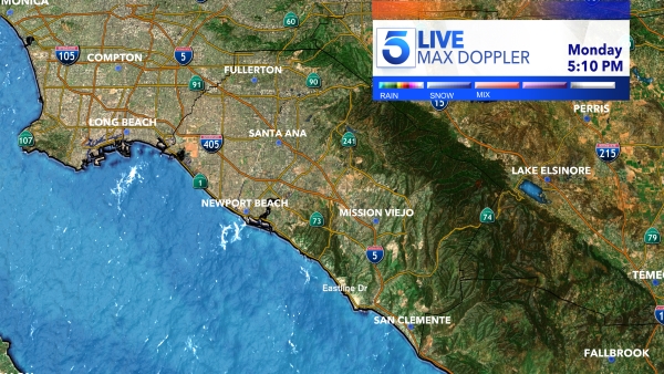
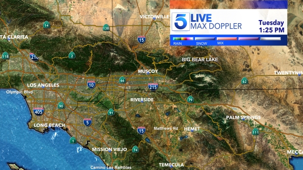
A developing atmospheric river is expected to impact Central and Southern California as early as this weekend, bringing widespread rain in what is anticipated to be the region’s first significant storm of the season, the National Weather Service said Thursday.
The strong system, which will first drench Northern California, is forecast to arrive in the southern half of the state as early as late Sunday, lingering through at least Monday night, according to the forecast.
Along with moderate to heavy rainfall, it will create potential minor flooding and debris flows in areas scorched by recent wildfires — particularly in and around the recent Alisal Fire burn area in Santa Barbara County, according to NWS.
The precipitation will result in a wet commute and could snarl traffic Monday, with forecasters also warning of the potential for road flooding.
Aside from the risk, the rain is mostly expected to be beneficial for the fire-scarred, drought-stricken state, especially at it pertains to drenching parched vegetation and mitigating wildfire threats, forecasters said.
Rainfall totals could reach a half-inch to 1 1/2 inches in Los Angeles and Ventura counties, and as much as 3 inches of precipitation to the north in Santa Barbara and San Luis Obispo counties, with locally heavier amounts possible.
Meanwhile, parts of the San Bernardino and San Gabriel mountains could receive 1 to 2 inches of precipitation.
But, NWS meteorologist Alex Tardy cautioned Thursday, “Keep in mind that the location and timing of atmospheric rivers several days out can vary greatly. In other words, there tends to be significant error in when those atmospheric rivers make landfall and where they make landfall.”
Those factors will impact which areas receive more or less rain, Tardy added.
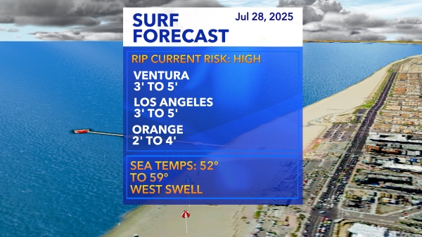
On top of the wet weather, coastal regions could see see dangerous high surf, while gusty winds — which could reach 40 to 50 mph in mountains and desert slopes — are also predicted.
Cooler conditions could result in temperatures of up to 20 degrees below normal for late October, according to the weather service.
Snow levels, however, are expected to remain high.
After the storm, warmer and drier conditions will return to the Southland for the rest of the week, the forecast shows.
