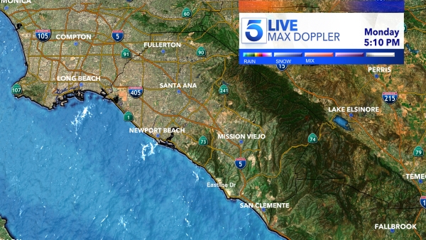
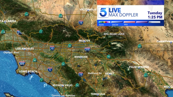
A wet and flooded past few weeks hasn’t been enough to bring California’s snowpack and some rain averages up to average, according to state officials.
State Climatologist Dr. Michael Anderson with the California Department of Water Resources said the “significant precipitation” from recent atmospheric river storms has brought the statewide precipitation to 102% of average to this date for the season.
The rainfall has brought a significant boost to California’s snowpack, Anderson said, but it still remained below average as of Tuesday.
“This series of storms over the past week have also been cold enough to provide a significant boost to the snowpack, which was just 50% of average on January 31st and is now 75% of average to date,” Anderson told KTLA. “However, this means that despite this week’s snowfall, the snowpack is only 50% of its average end-of-season peak, so if we see a longer stretch of dry conditions it is still possible to end the season with a below average snowpack.”
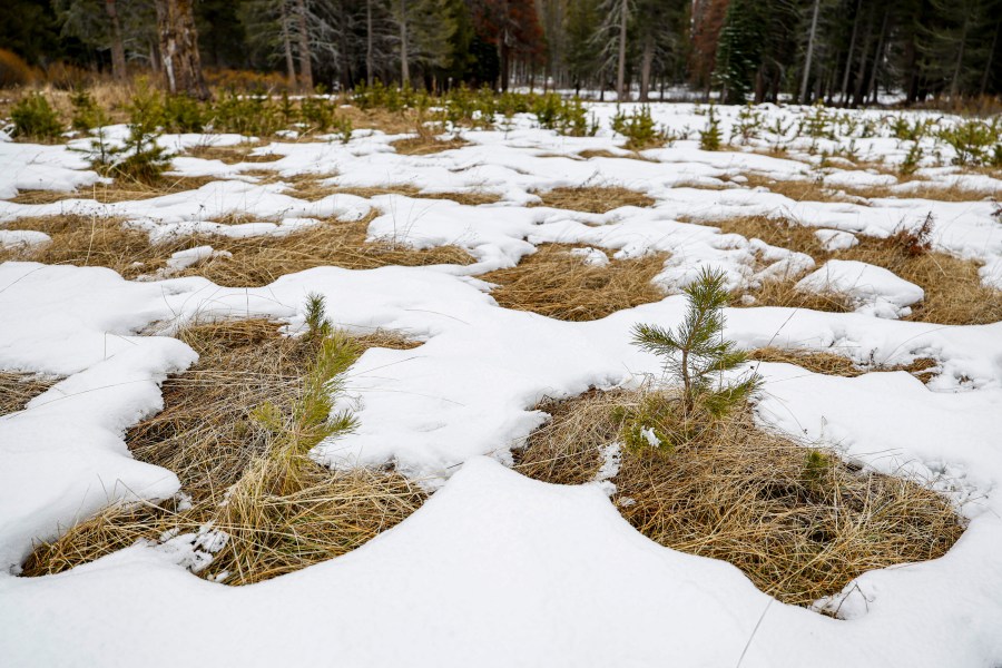
In essence, an onslaught of rain and snow in recent weeks wasn’t enough to make up for a dry start to the winter season. It did, however, prevent California from entering a more dangerous zone of reservoir and snowpack levels.
Anderson said more precipitation this season would be crucial to get levels back to average.
“Anytime the statewide snowpack is below average, there is a risk dry conditions could set in again,” Anderson said. “Currently, the statewide snowpack is only 67 percent of its typical April 1 peak, meaning if we see extended dry periods between now and the end of the season, the snowpack would end the year significantly below average.”

