The historic and destructive storms that ravaged California this week have significantly boosted the state’s snowpack and water year outlook after a relatively dry start to the season, state water managers say.
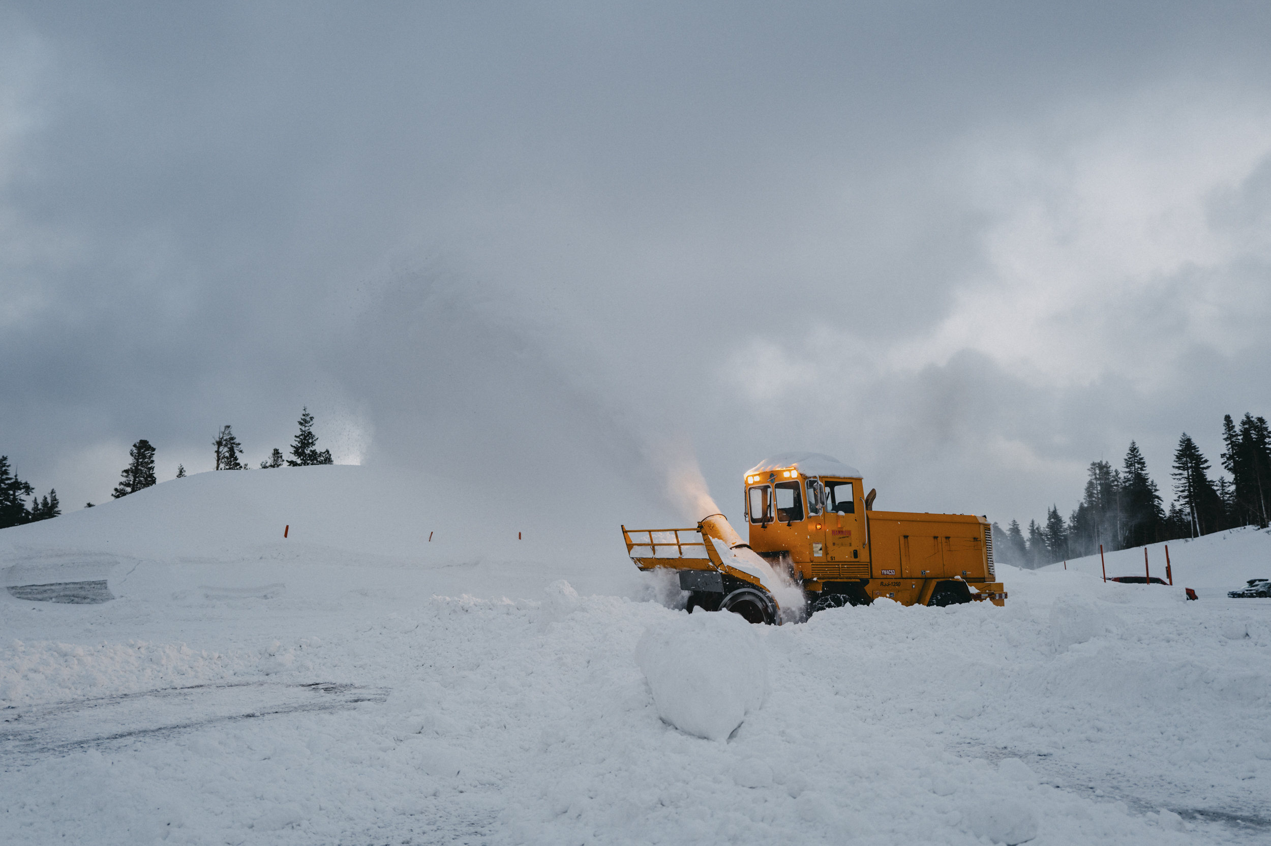
Some areas of Los Angeles County received more than a foot of rain over the past five days, while snowfall totals in the Sierra Nevada mountains surpassed two feet in some locations.
This abrupt and dramatic change in California’s weather is being welcomed by the state’s Department of Water Resources with a caveat: despite the onslaught, these storms have merely helped the Golden State play catch up.
“Southern California has seen significant precipitation over the past several days, bringing the region’s precipitation total for the season above average and pushing the statewide precipitation to 102% of average for this date,” State Climatologist Dr. Michael Anderson told KTLA 5 News on Thursday.
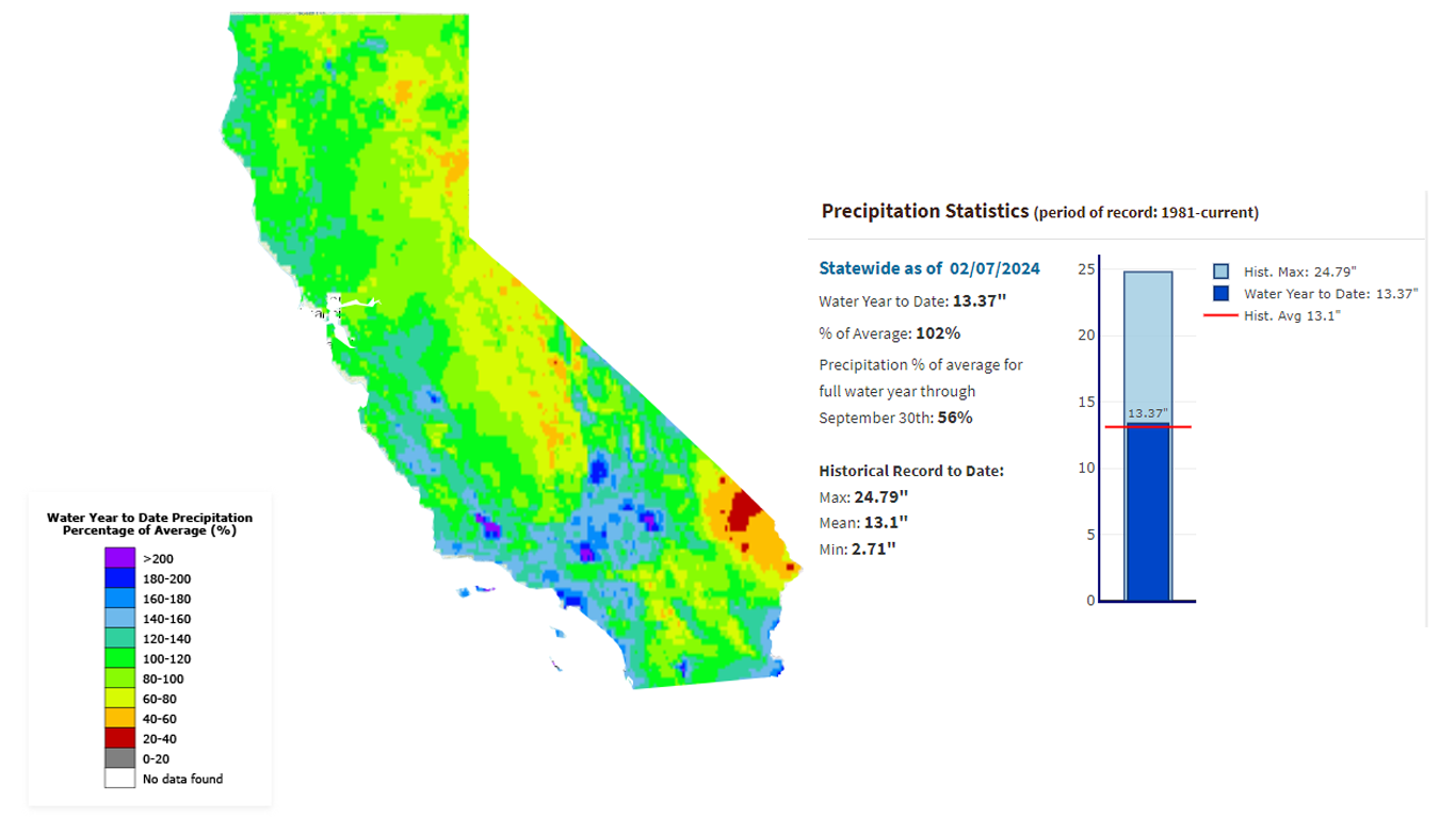
Anderson says state reservoirs are pacing well above average at 118% due to carry-over storage from last season coupled with the recent rains.
However, California’s critical mountain snowpack was just 50% of the average at the end of January and is now 75% of the average to date.
It’s still too early, Anderson says, to feel confident about the outlook for the rest of the winter.
“This series of storms over the past week has also been cold enough to significantly boost the snowpack,” said Anderson. “[But] if we see a longer stretch of dry conditions it is still possible to end the season below average.”
For comparison, California’s snowpack was an astonishing 206% of normal at this time last year as one atmospheric river after another hammered the Golden State in what proved to be one of the largest snowpack years on record.
Is it El Niño?
Meteorologists say the warming surface water temperatures along the equator, known as El Niño, means California is expected to see cooler temperatures and above-average precipitation this winter. Whether that proves to be the case remains to be seen.
More important to California’s water supply, Anderson says, are the individual storms and how all of that precipitation is managed.
“While climate drivers like El Niño change the weather patterns that impact California, each year’s water supply and flood or drought risk are driven by the timing, pace, and scale of atmospheric river storms,” he said. “DWR is working with federal, state, and local partners to improve seasonal forecasting to continuously improve our understanding of these storms and collaborate and coordinate opportunities to enhance groundwater recharge when the larger storms do come through.”