Southern California is about to get soaked by back-to-back storms as a massive low-pressure system moves into the region from the Pacific.
The first storm from the atmospheric river arrives late Wednesday night into Thursday and is expected to dump one to three inches of rain along the coastal areas and valleys of Ventura County, Los Angeles, Orange, Riverside, San Bernardino and San Diego counties.
“A strong cyclone over the eastern Pacific has a cold front extending south to just a few hundred miles west of the Central California coast, with a long fetch of moisture that stretches to Hawaii,” the National Weather Service said in a bulletin.
Meteorologists say the heaviest rain will likely fall during a one to three-hour period when the primary frontal band moves through.
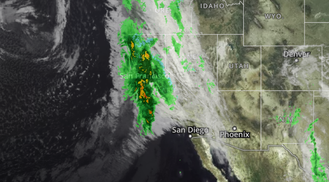
While the rain will be quite heavy at times, the Weather Service said flood concerns are “relatively minor” because the first storm will move through quickly.
Heaviest Rainfall Timing:
- San Luis Obispo County: 10 p.m. Wednesday – 4 a.m. Thursday
- Ventura County: 3 a.m. – 9 a.m. Thursday
- Los Angeles County: 5 a.m. – 11 a.m. Thursday
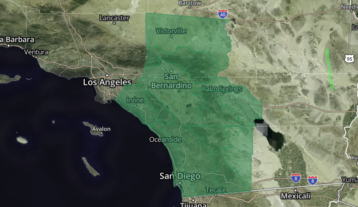
- Inland Empire: 6 a.m. – Noon Thursday
- Orange County: 6 a.m. – Noon Thursday
- San Diego County: 6 a.m. – Noon Thursday
NWS has issued a Flood Watch for a large area of SoCal.
Up to five inches of rain could fall in the foothills and mountains, where snow levels will start at 6,000 feet and drop to 3,000 feet by Thursday evening, the Weather Service said.
The mountains of Riverside and San Bernardino County, which could get 8-16 inches of snow, are under a Winter Storm Warning until 6 a.m. Friday.
The skies will clear late Friday and Saturday ahead of what meteorologists believe will be the largest storm to hit Southern California this winter.
“As it stands now, the heaviest portion of the storm is expected to be Sunday night into Monday as the [cold] front stalls,” NWS said.
Early rainfall estimates are 2-4 inches for lower elevations and much higher amounts in the south-facing mountains from Sunday through Wednesday. Rainfall rates of an inch per hour are possible, which would likely result in flooding and mudslides, NWS said.
“Everyone across the Southland should keep abreast of the latest developments in the forecast of this very significant storm.”