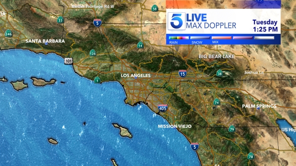
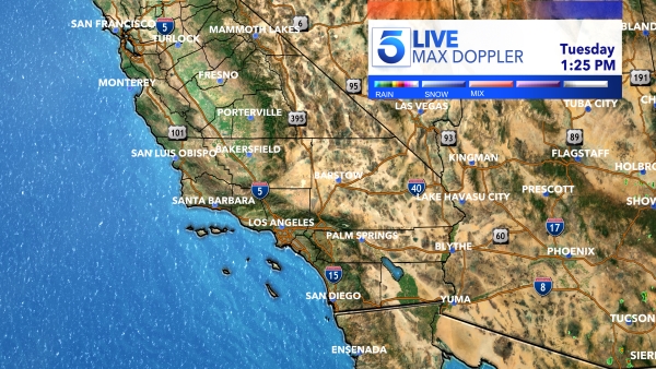
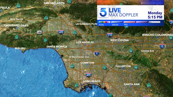
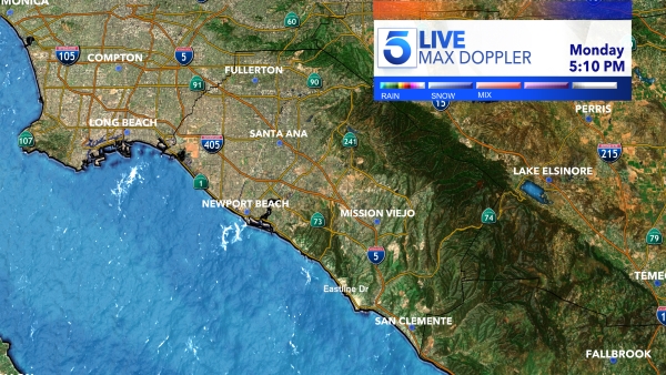
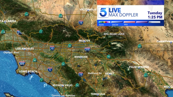
A massive storm system making its way towards Southern California is causing many residents to take precautionary measures ahead of the deluge in the forecast.
Up to six inches of rain is expected to fall across the area beginning Sunday and lasting through Wednesday, the National Weather Service said, and areas as low as 4,500 feet could see heavy snow.
Sunday evening into Monday morning is when the most intense rain is set to arrive, bringing a “high risk for life-threatening and damaging flooding,” according to NWS.
High winds and cooler temperatures will also accompany the atmospheric river-fueled storm, weather officials said.
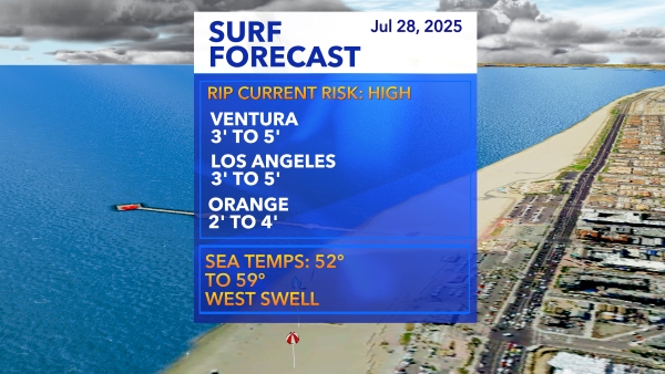
Residents of coastal communities are bracing for even worse flooding than they saw earlier this week and high surf is expected to pummel the coastline.
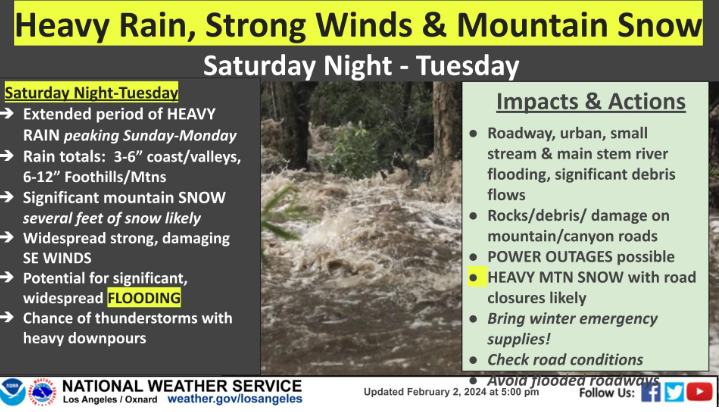
Further inland, communities in the foothills are preparing for the possibility of mudslides, especially near sites of recent brush fires, which are more prone to debris flow.
“The ground is saturated from the rain we just had,” said KTLA 5 meteorologist Kacey Montoya. “So the ground cannot absorb any more of the rain that is about to fall.”
Preliminary forecasts indicate that at least half an inch of rain will have fallen by early Sunday afternoon. By Monday morning, there could be more than five inches.
“We are going to see so much rainfall in such a short period of time and we’re not equipped for that,” Montoya added.
A Flood Watch is in effect for most of Southern California through Tuesday afternoon. Officials issued the advisory several days in advance, which is not typical and “shows us the severity of this storm system,” Montoya said.
Mountain communities are also under a Winter Storm Watch until Tuesday at 6 p.m.
To view the Los Angeles Fire Department’s storm safety and preparedness checklist, click here.
