Southern California residents can expect to see clouds and rain from our upcoming storm, but the bulk of the moisture won’t arrive until late in the weekend.
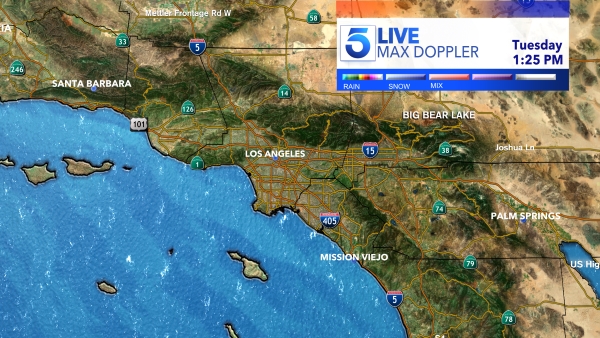
The showers will come in three waves, according to KTLA Meteorologist Henry DiCarlo.
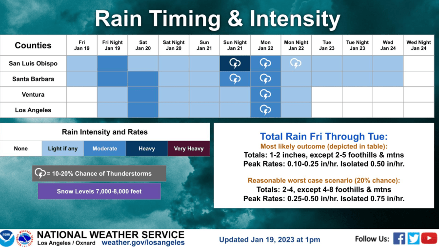
The first wave will arrive Friday night into Saturday morning but is expected to bring the least amount of rain.
“We do know we have at least a chance of some light, scattered showers,” Henry said.
A slightly more intense wave will move into the region Saturday night into Sunday morning. At this point, we should see more rain and some snow falling at the higher elevations.
“The third wave comes in Sunday night into Monday. This is the wave that will produce the majority of the rain,” Henry said.
Monday is forecast to be the most active day in terms of rain and snow.
“We all get some rain Sunday night into Monday … Really, it just comes down to timing and your area,” Henry said.
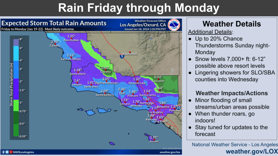
Rain totals through Tuesday are forecast to reach 1 to 2 inches for the coasts and valleys, with 2 to 5 inches expected in the mountain and foothill areas, according to the National Weather Service.
A chance of thunderstorms also arrives Sunday night through Monday.
Thunderstorms bring periods of intense rain capable of producing minor flooding.
“When thunder roars, go indoors!” the weather service advised residents.
Overall, the storm will remain on the warm side, keeping snow levels above 7,000 feet.
Mountain communities above 7,000 feet could see 6 to 12 inches of snow, according to the weather service.
