If you remember what it felt like to experience the Northridge earthquake nearly 30 years ago, the U.S. Geological Survey would like to hear from you.
Residents who felt the 6.7 magnitude earthquake that struck the greater Los Angeles area on Jan. 17, 1994, are being asked to use the USGS’s “Did you feel it?” reporting tool to share their memories.
“This information collected from the public supplements scientific data and helps us better understand the impact of past and future earthquakes,” Earthquake Science Center Director Christine Goulet said. “Nowadays, the system is up within minutes of an earthquake, and we encourage the public to go online to submit their reports.”
The Did You Feel It? system was introduced in 1999 and allows users to file retroactive reports about their experience during an earthquake.
As of Wednesday, the USGS had 9,983 responses for the Northridge earthquake but said that is only a small sampling of people who experienced the shaking.
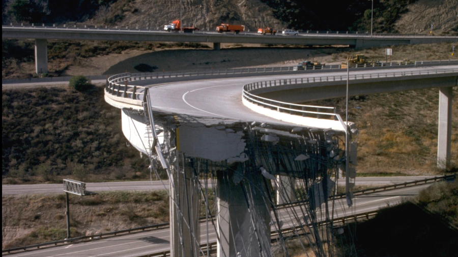
Damage is seen from the 1994 Northridge earthquake. (Public Domain via USGS) 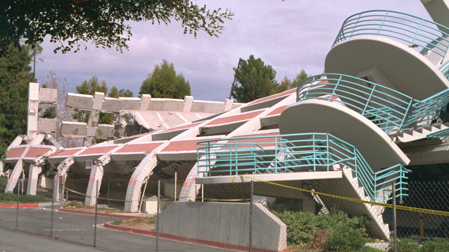
Damage is seen from the 1994 Northridge earthquake. (Public Domain via USGS) 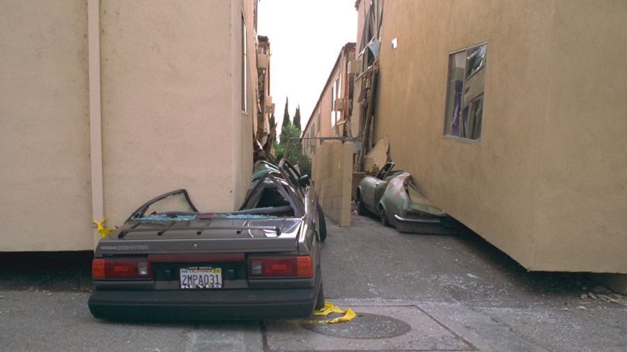
Damage is seen from the 1994 Northridge earthquake. (Public Domain via USGS) 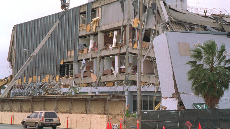
Damage is seen from the 1994 Northridge earthquake. (Public Domain via USGS) 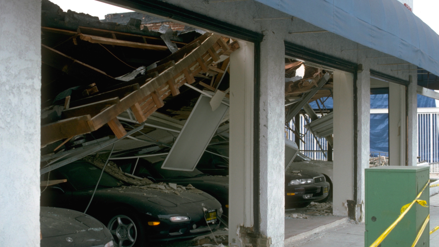
Damage is seen from the 1994 Northridge earthquake. (Public Domain via USGS) 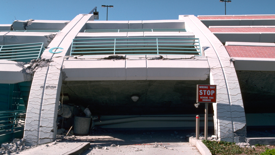
Damage is seen from the 1994 Northridge earthquake. (Public Domain via USGS) 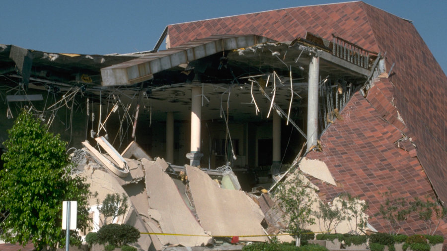
Damage is seen from the 1994 Northridge earthquake. (Public Domain via USGS) 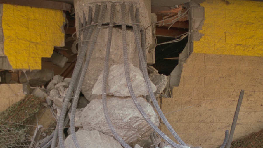
Damage is seen from the 1994 Northridge earthquake. (Public Domain via USGS)
“The earthquake affected a highly diverse region. Additional responses will allow the distribution of shaking to be mapped in even finer detail, capturing shaking in every neighborhood,” a USGS news release noted.
The devastating Northridge quake took a heavy toll on the region, killing 57 people and leaving over 7,000 injured.
Property damage, which left about 20,000 area residents homeless, was estimated at $40 billion, according to the USGS.
Damage to freeway bridges and overpasses disrupted transportation for months after the earthquake.
Maps created by the Felt data are used by scientists to forecast future events that help inform emergency response, building codes and other procedures that help protect life and property, the USGS said.
Reports can be made in Spanish, simplified and traditional Chinese, as well as English.


