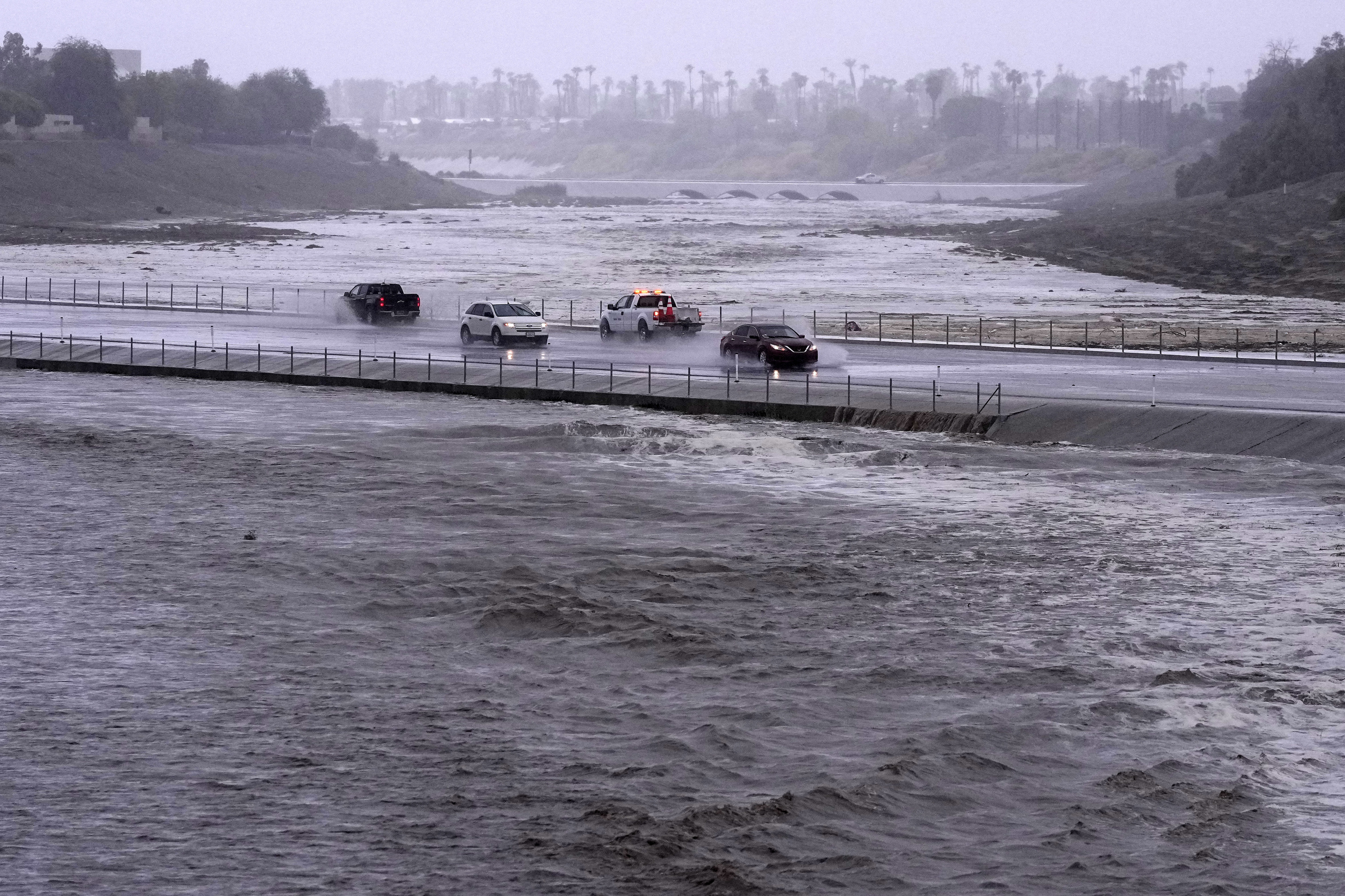
As El Niño reaches its peak this winter, it’s expected to bring heavy snow to some states, unseasonably warm temperatures to others, and flooding to the coasts. There’s actually an elevated risk of flooding along the West and East Coasts this winter, but for different reasons, according to NASA scientists.
On the West Coast, it’s because a strong El Niño would bring more high tide flooding. This year, there is a greater than 55% chance of a “strong” El Niño. There’s even a chance — about 35% — it ends up being one of the strongest ever, like the one we saw 2015-2016 or 1997-1998.
Unusually high tides, nicknamed “king tides,” don’t normally hit the West Coast outside of El Niño years, according to NASA’s sea level change science team. But this winter, cities like Seattle and San Diego could experience as many as five “10-year flood events” in a single season.
“Ten-year floods are those that have a one in 10 chance of occurring in any given year,” NASA explains. These types of more severe floods are expected to become even more common over the next several decades due to climate change.
The increased likelihood of king tides, plus a wetter-than-average winter anticipated for California, could spell trouble for low-lying roads and buildings.
On the East Coast, analysis by the National Oceanic and Atmospheric Administration finds El Niño causes more high-tide flooding for the mid-Atlantic states, but doesn’t have much of an impact further north or in the Gulf.
But those areas aren’t totally in the clear this winter, says Ben Hamlington, a NASA sea level research scientist.

“El Niño could lead to additional flooding along the Gulf and Southeast coasts this winter, Hamlington explains. “But the reason for this is different than along the West Coast, where sea levels themselves are pushed higher.”
In the Gulf and Southeast, the higher risk of flooding comes from El Niño-fueled storms that dump lots of rain in a short period of time.
This winter, a wide band of states from Louisiana up to the Carolinas are strongly favored to see above-average precipitation.


