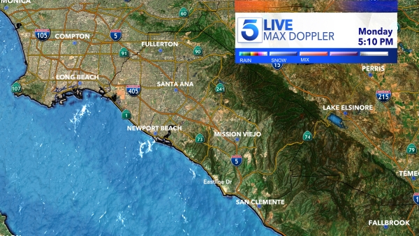
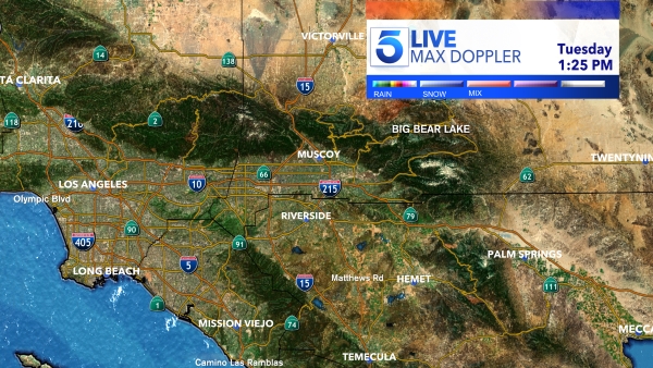
Thursday may be relatively dry in the Southland after Wednesday’s rainfall, but don’t get used to it. More rain is expected on Friday and could stick around until Sunday.
After Wednesday’s showers, which brought about 0.4 inches of rain to central Los Angeles, the next, best chance for “significant rainfall” is Friday and early Saturday “with rain possibly lingering into Sunday,” according to the National Weather Service.
“Currently, our best estimates are for a widespread 1 to 3-inch rain event for the area, depending on location,” the NWS said.
KTLA meteorologist Henry DiCarlo says Saturday will see scattered showers and, while Sunday will “for the most part be a drying-out day,” there will be “another little wave [of precipitation] that comes in Sunday evening.”
Snow is expected to remain at higher elevations, likely 7,500 to 9,000 feet, but “as the rain continues through the week, cannot rule out some minor flooding issues,” NWS officials added.
That rainfall also affects local beaches, where “discharging storm drains, creeks, and rivers [create] potentially higher bacteria levels,” according to the Los Angeles County Department of Public Health.
Public Health encourages the public to avoid getting in the water, including “any runoff that may flow onto or pond on the beach sand,” for three days following the end of rainfall.
In this case, that means the advisory remains in effect until 1:30 p.m. Saturday, though it “may be extended depending on further rainfall,” officials said.
To view a map of impacted locations and for more information, visit PublicHealth.LACounty.gov/Beach.
