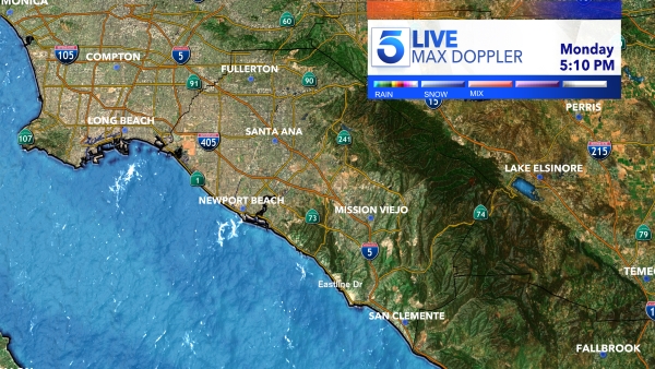
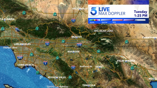
Track Tropical Hilary with the latest satellite and radar imagery, time-lapse loops, wind speeds and rainfall amounts with this interactive radar.
Please wait a moment for the map to load.
Select “layers” to view additional interactive tools.
Rainfall amounts from the storm are expected to range from 2-7 inches and could exceed 10 inches in some areas.
California doesn’t often see tropical storms or hurricanes since they derive their energy from warm ocean waters, typically around 80 degrees Fahrenheit or higher, according to the National Oceanic and Atmospheric Administration (NOAA).
The coastal waters off California are much cooler than this and don’t provide the necessary heat energy to fuel the development and intensification of hurricanes. These storms, however, do form in the warmer waters of the Pacific Ocean further south and can maintain intensity as they move northward, which is the case with Hilary.
