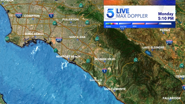
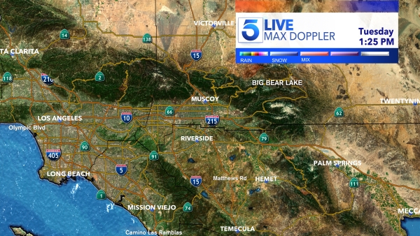
If you’re ready for rain, you’re in luck.
Showers are headed to Southern California early next week — primarily on Monday and Tuesday — presenting hazards for drivers beyond the annual end of daylight saving time.
“A more significant storm system will bring periods of rain and mountain snow and gusty winds to the region as early between Sunday night and Wednesday. A drying trend is expected for late week,” the National Weather Service said.
The NWS said that while they’re confident of rain and mountain snow “at some point early next week,” the “exact timing and amounts” remain somewhat uncertain.
Current estimates believe there could be 1 to 2 inches of rain along the coast, 1.5 to 3 inches in the mountains and up to 4 inches in the San Gabriel Mountains.
In the Antelope Valley, however, only 0.75 to 1.25 inches are expected.
Snow could be seen at altitudes of 4,000 feet and above.
“Snow could be of concern for the Interstate 5 Corridor for this storm system. Gusty winds could enter the picture with this storm as [a] small fraction of the ensemble members suggest at least
advisory level winds developing,” the NWS said.

