The possibility of another round of thunderstorms and mud flows has prompted forecasters to issue flash flood watches for parts of Southern California Friday.
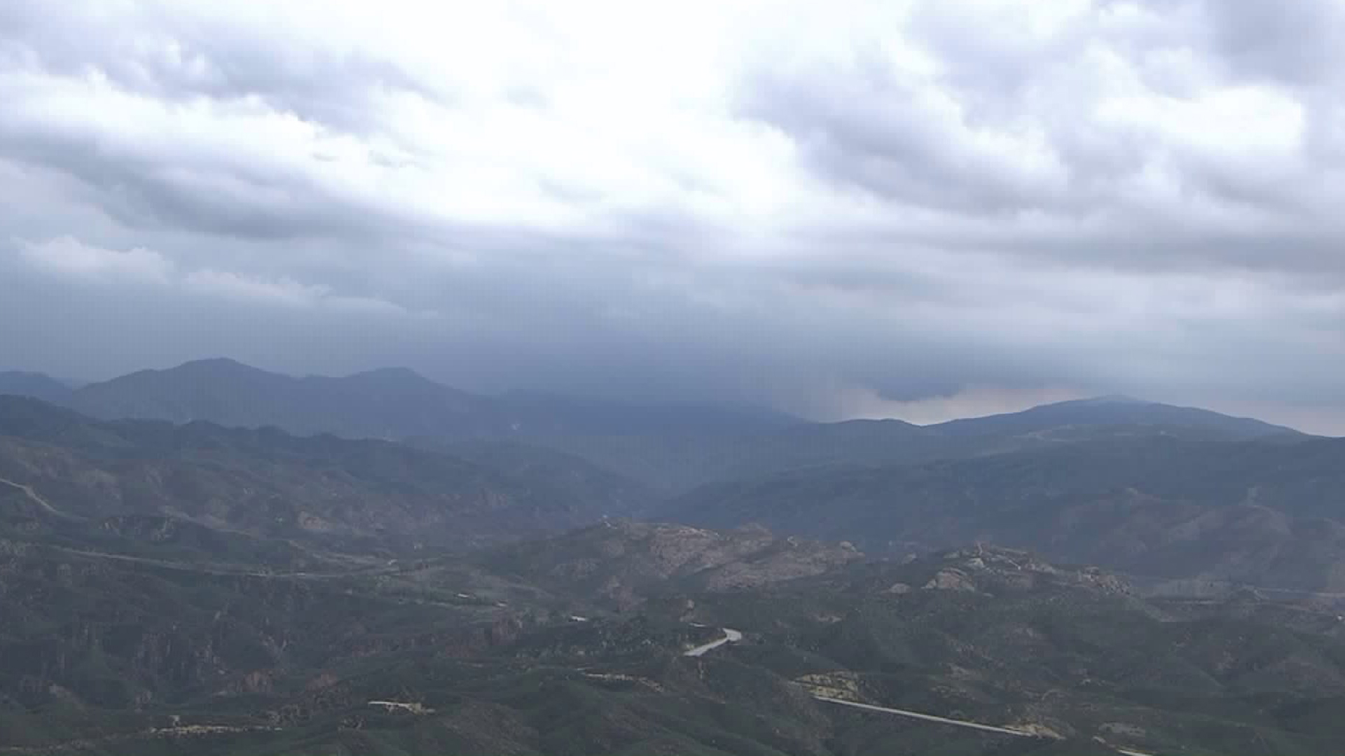
A moist, unstable air mass was lingering over the region thanks to a cutoff low pressure system centered around Point Conception, the National Weather Service stated.
Thunderstorms are most likely to develop in the afternoon and evening hours over the mountains from Santa Barbara County down to Los Angeles County, as well as areas of the Antelope Valley, according to forecasters.
Flash flood watches were issued through Friday evening for those areas, as well as the Inland Empire and desert areas, including the San Diego County desert.
Any thunderstorms that do develop will also bring a chance of flash flooding and mud flows with them. Forecasters have also warned of gusty, erratic winds, hail and the possibility of dangerous lightning.
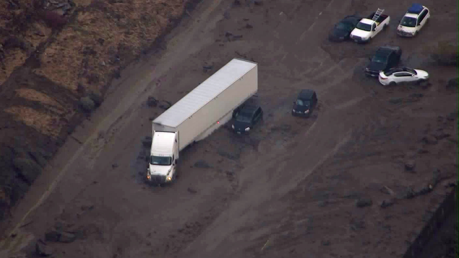
Powerful storms that hit Southern California Thursday forced closures of the 5 Freeway through the Grapevine and Highway 58 between the 5 and 14 freeways near Mojave, after hundreds of cars and trucks were trapped in mud flows that covered the roads.
Crews were still working Friday to remove mud and debris from those roadways.
Anyone traveling or planning outdoor activities in the flood watch areas should closely monitor the latest weather and road conditions, forecasters said.


