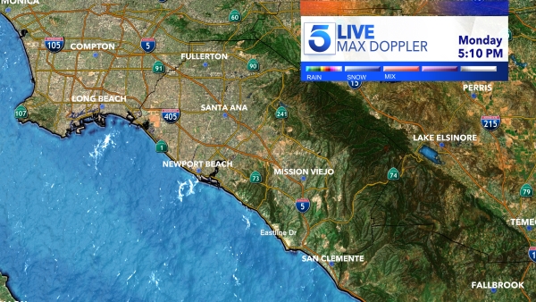
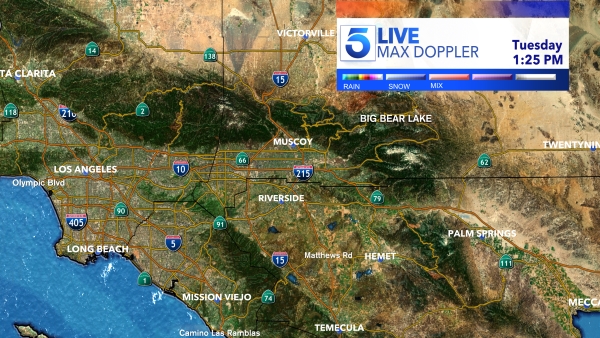
Two storms were expected to move into Southern California this week, bringing yet more wet weather to the region through Wednesday.
The first storm — the weaker of the two — was set to arrive from the Central Coast overnight Monday, according to the National Weather Service. It was expected to strike Los Angeles County about 3 a.m. Tuesday.
A second storm will come later Tuesday and last into Wednesday, bringing one-half to 1 inch of rain in coast and valley areas, with 1 to 2 inches in the mountains and foothills.
A flash-flood watch was issued for the mountains of Riverside and Orange counties from Tuesday afternoon to Wednesday afternoon.
Periods of heavy rainfall and thunderstorms could occur, the weather service said. And burn areas could see minor debris flow.
The snow level will drop to about 5,000 feet, and snow may be seen in the higher elevations of the Grapevine, the weather service said. A winter-weather advisory was in effect for the mountains of San Bernardino County above 6,000 feet from midnight Monday through 6 p.m. Tuesday.
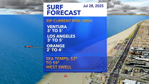
High surf and strong rip currents were also expected along the coast through Wednesday, with sets of 6 to 10 feet in L.A., Orange and Ventura counties.
The highest surf was expected along exposed, west-facing beaches — especially in Ventura and Huntington Beach.
The expected rain comes after two strong storms earlier this month saw record rainfall and mudflows that prompted Inland Empire rescue operations and severely damaged homes in Camarillo Springs. At one point, a 9-mile section of the Pacific Coast Highway in Ventura County was closed for several days due to rock fall.
In South Los Angeles, a brief and unusual tornado wreaked havoc Friday.
Near wildfire burn areas, several neighborhoods across the region faced evacuation orders in the earlier storms. No evacuations had been ordered by Monday morning for the forthcoming rainfall.
