Heavy rain was falling across Southern California Wednesday morning as another Pacific storm, considered a bomb cyclone due to its rapid intensification, moved into the region.
The rain will linger throughout the day on Wednesday and into Thursday, according to the National Weather Service office in Los Angeles.
Rainfall rates will be a tenth of an inch per hour in the coastal areas and valleys and up to a quarter inch per hour in the foothills and mountains.
The first band of rain will be followed by a six to eight-hour break with clearing skies before the next band arrives late Wednesday into Thursday morning.
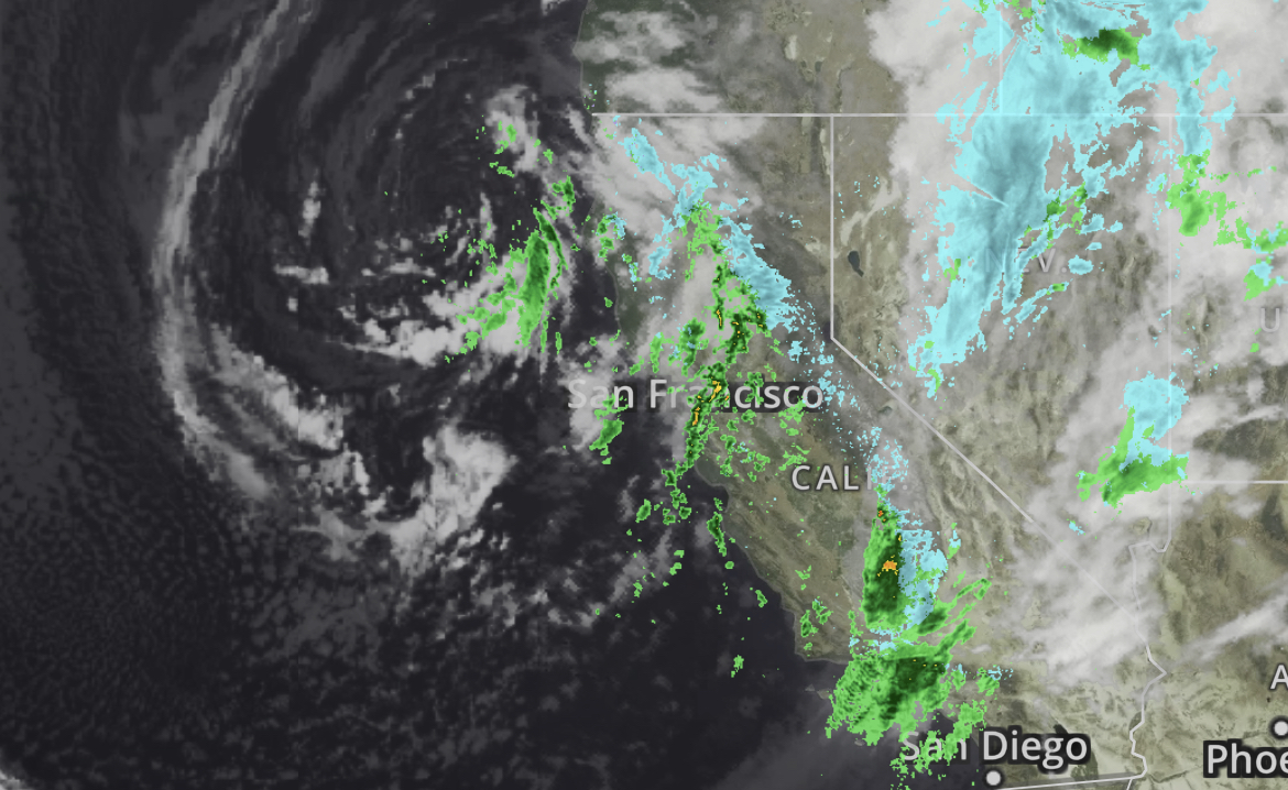
“This (second band) will be more showery in nature but with higher rain rates and possible thunderstorms,” NWS said.
Southern California’s mountains will also receive more snow. NWS is forecasting 2 to 5 inches between 4,000 and 6,000 feet in elevation with snow possible as low as 3,000 feet on Wednesday and Thursday.
After a dozen previous atmospheric rivers and blizzards fueled by arctic air, the water content of California’s Sierra Nevada snowpack is more than double normal overall, and nearly triple in the southern Sierra.
Damage since the onslaught began in late December includes buildings crushed by snow, flooding of communities and farm fields and homes threatened by landslides.
The Associated Press contributed to this report.