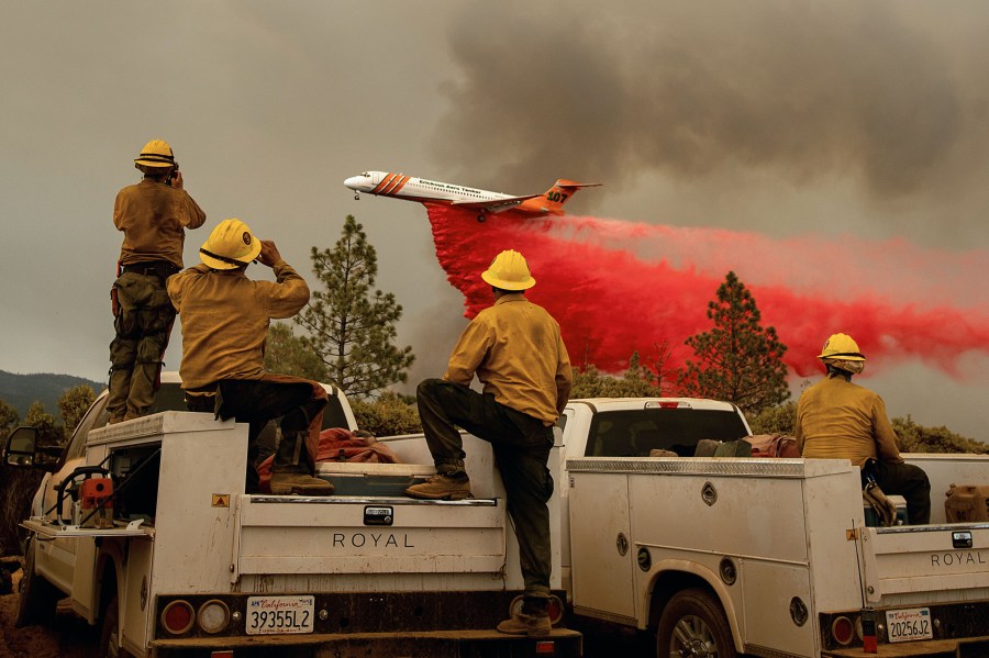
The smoke creeping up from a steep hillside near this small community 27 miles south of Yosemite Valley was a sure sign a spot fire was burning, hidden beneath the tall pine trees.
In years past, firefighters might have proceeded with just the limited information provided by a helicopter operator struggling to see through the haze.
Instead, a California Air National Guard aircraft with infrared capability flying thousands of feet above the Ferguson fire was able to determine that firefighters were facing not one spot fire but seven, which were quickly growing together.
Amid weeks of conflagrations and heat waves that have shattered grim records across California, the Ferguson fire has made some good history: It marked the first time incident commanders battling a wildfire have been able to tell firefighters what was being reported from high above the fire in exact detail in near real time.
Read the full story on LATimes.com.