Rain and snow showers lingered over Northern California on Tuesday as the latest weather system moved through.
The storm added to substantial early season precipitation dropped by powerful December systems that also cut power to thousands.
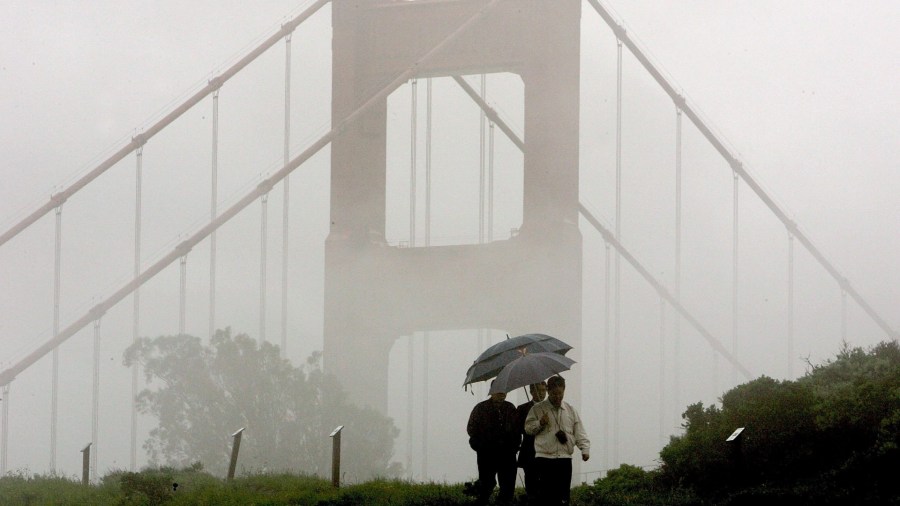
Forecasters billed the front that arrived Monday as weak but it left some high rainfall totals in the San Francisco Bay Area.
Mount Tamalpais north of the Golden Gate recorded more than 4 inches (10 centimeters) in 24 hours. The San Mateo and Santa Cruz coastal ranges received 1 inch to 2 inches (2.5 to 5 centimeters).
Flood watches were posted in the northwest region of the state amid concerns about rising streams and creeks.
Chains were required on vehicles traveling Interstate 80 in the Sierra Nevada, which was blanketed with snow by last month’s storms.
Pacific Gas & Electric said about 21,000 customers were still without power in its Sierra Division, including El Dorado, Placer, Nevada and Sierra counties.
Vast accumulations of snow, downed trees and other hazards continued to prevent assessment and repair of equipment, the utility said, adding that mutual aid crews from elsewhere were assisting.
Temporary generation was deployed to 11 locations including hospitals, warming centers and substations.
The next chance of rain and snow is expected by Friday.