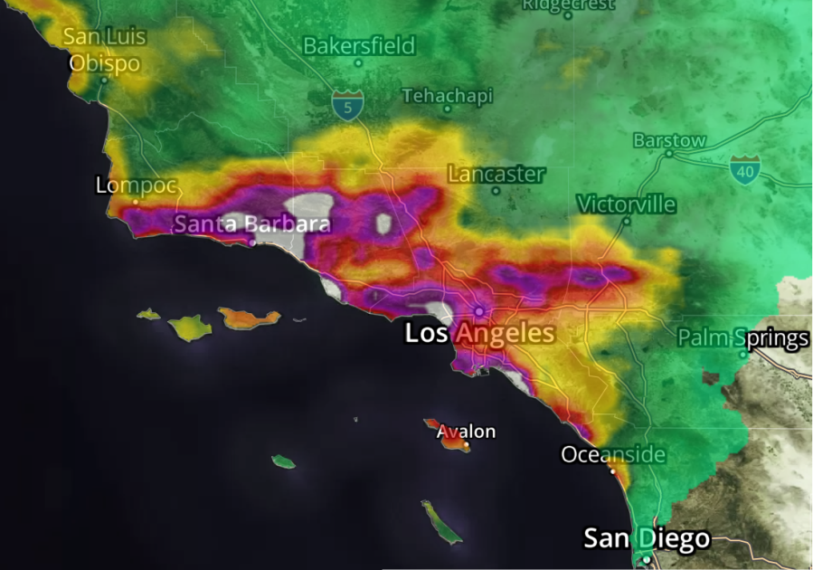
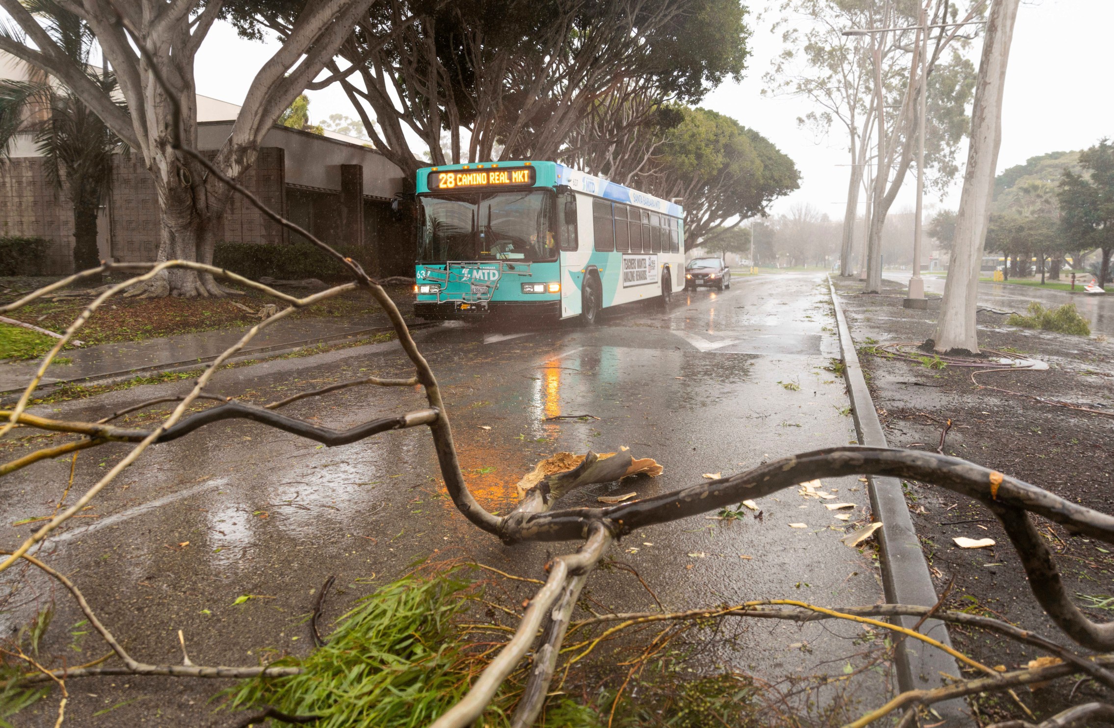
An astonishing, and likely record-setting amount of rain has fallen in Southern California from the atmospheric river event that began drenching the region on Sunday.
According to the National Weather Service, some areas of Los Angeles have received over 11 inches of rain since the storm began, including Woodland Hills, Bel Air, and the Sepulveda Canyon area. Downtown L.A. has seen more than 7.5 inches, marking the third-highest two-day rainfall total in history.
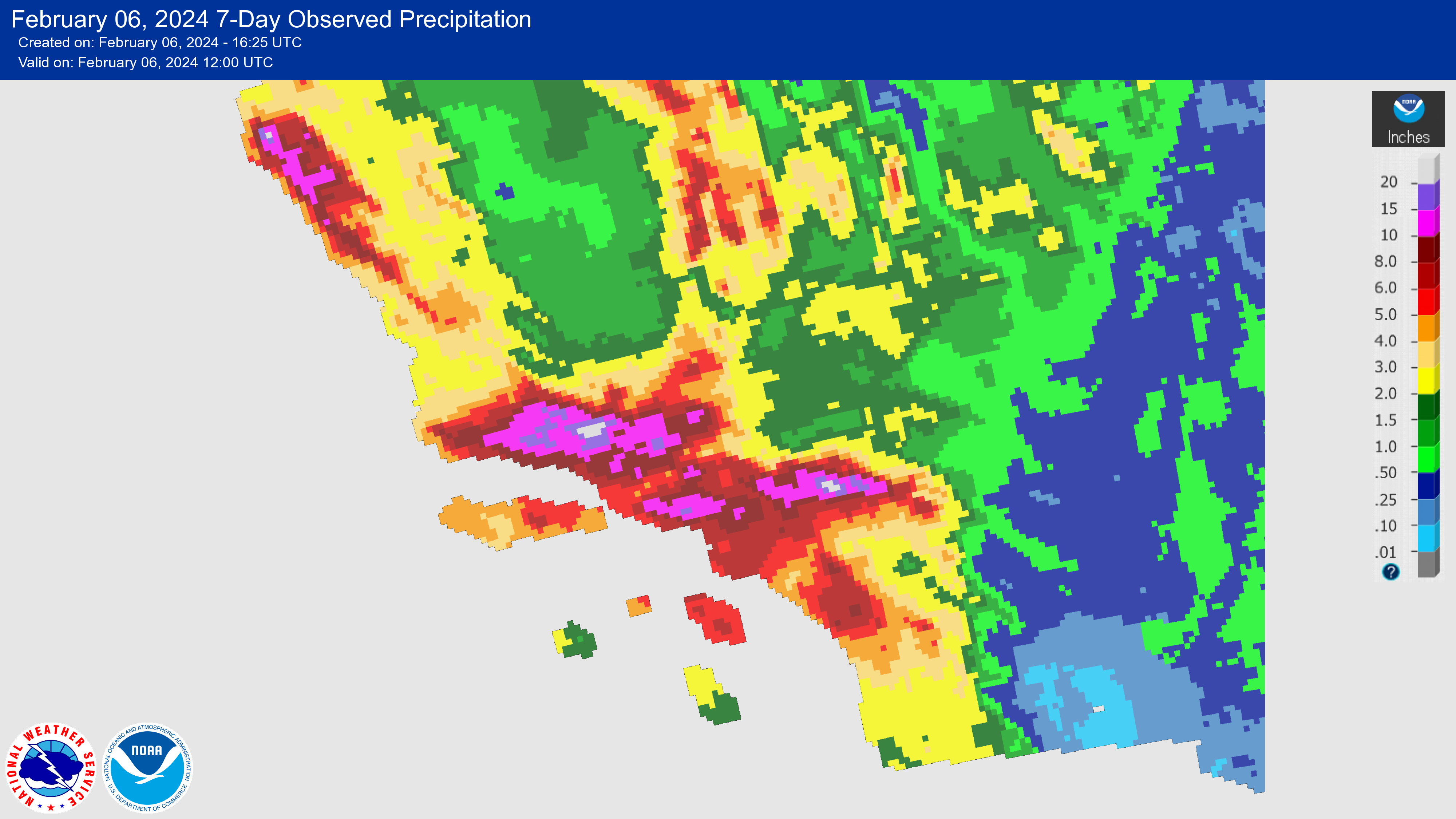
Notable rain totals so far:
- Topanga Canyon: 11.87”
- Stunt Ranch: 11.50”
- Bel Air: 12.01”
- Sepulveda Canyon: 11.91”
- Woodland Hills: 11.58”
- Porter Ranch: 9.68”
- Matilija Canyon: 9.09”
- Agoura Hills: 8.72”
- Beverly Hills: 8.33”
- Van Nuys: 7.90”
- Calabasas: 7.56”
- Downtown Los Angeles: 7.55”
- Alhambra: 7.56”
- Santa Monica: 6.73”
- Pasadena: 6.07″
- Newhall: 6.85”
- Westlake Village: 6.19″
Use the interactive map below to view 24-hour rain totals in real-time. (Note: this map no longer includes rainfall from the height of the storm on Sunday evening. Tap here for full storm reports.)
Please wait a moment for the map to load.
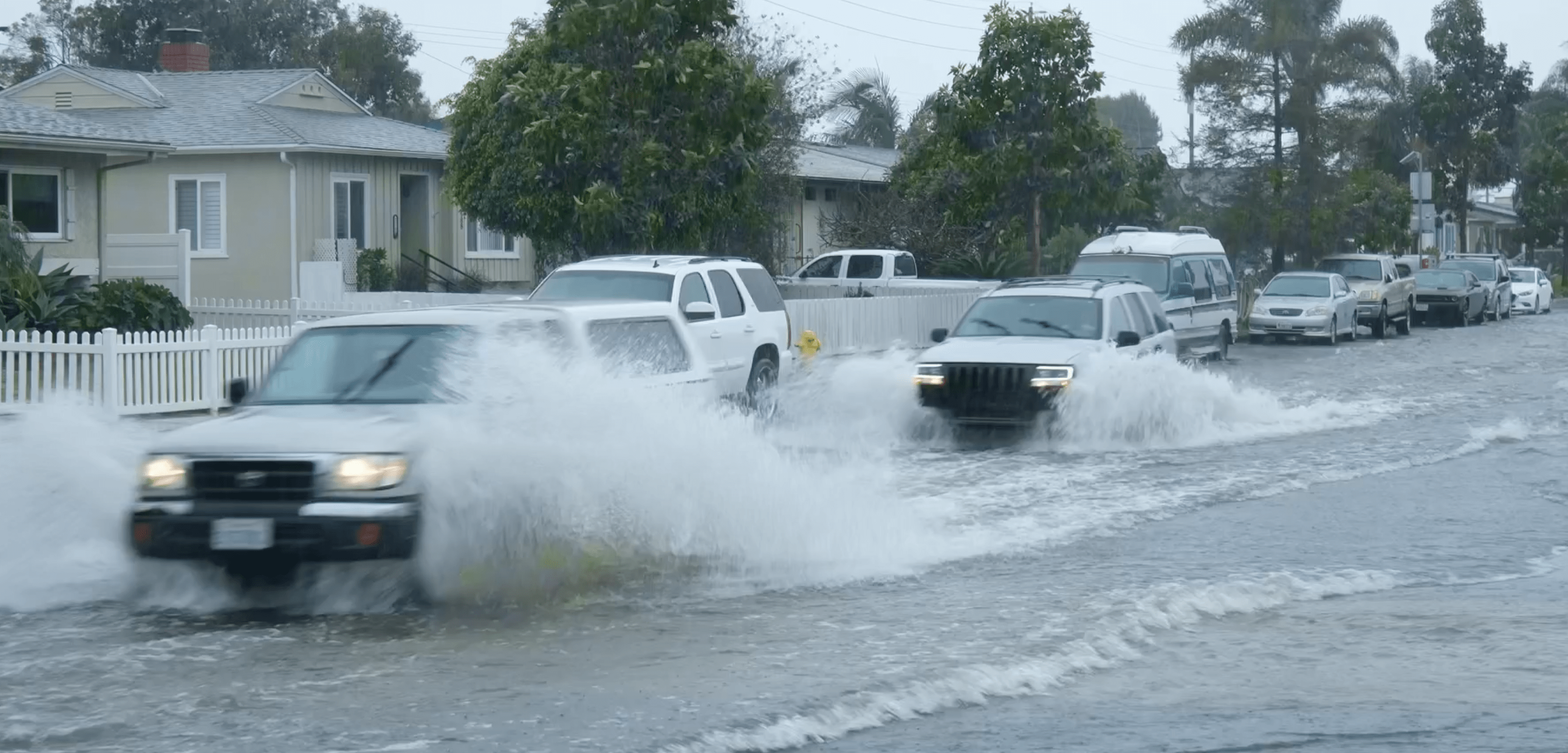
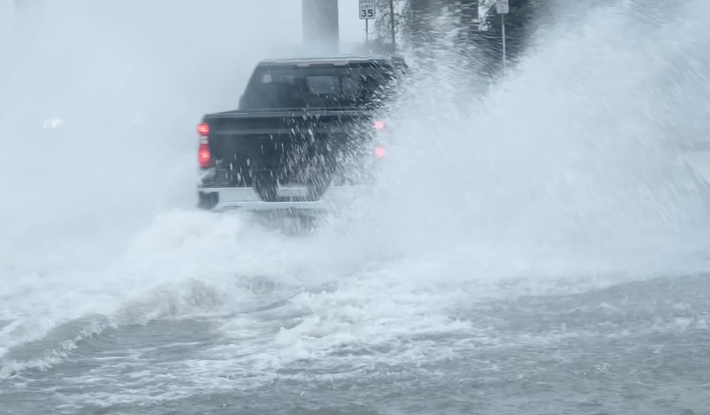
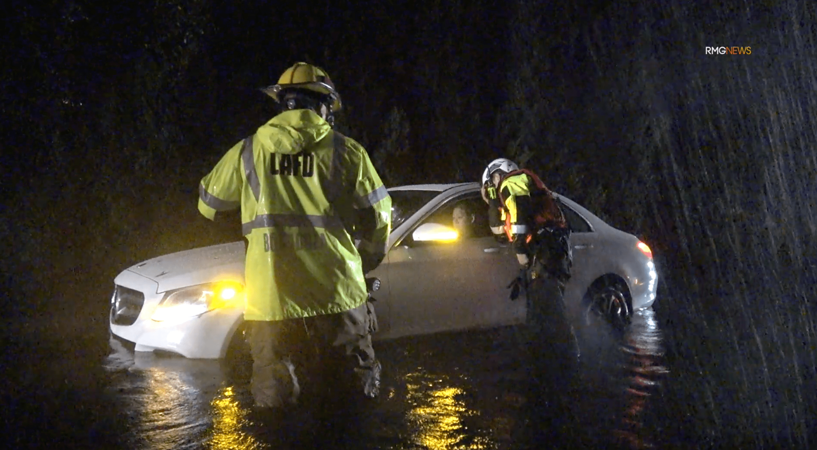
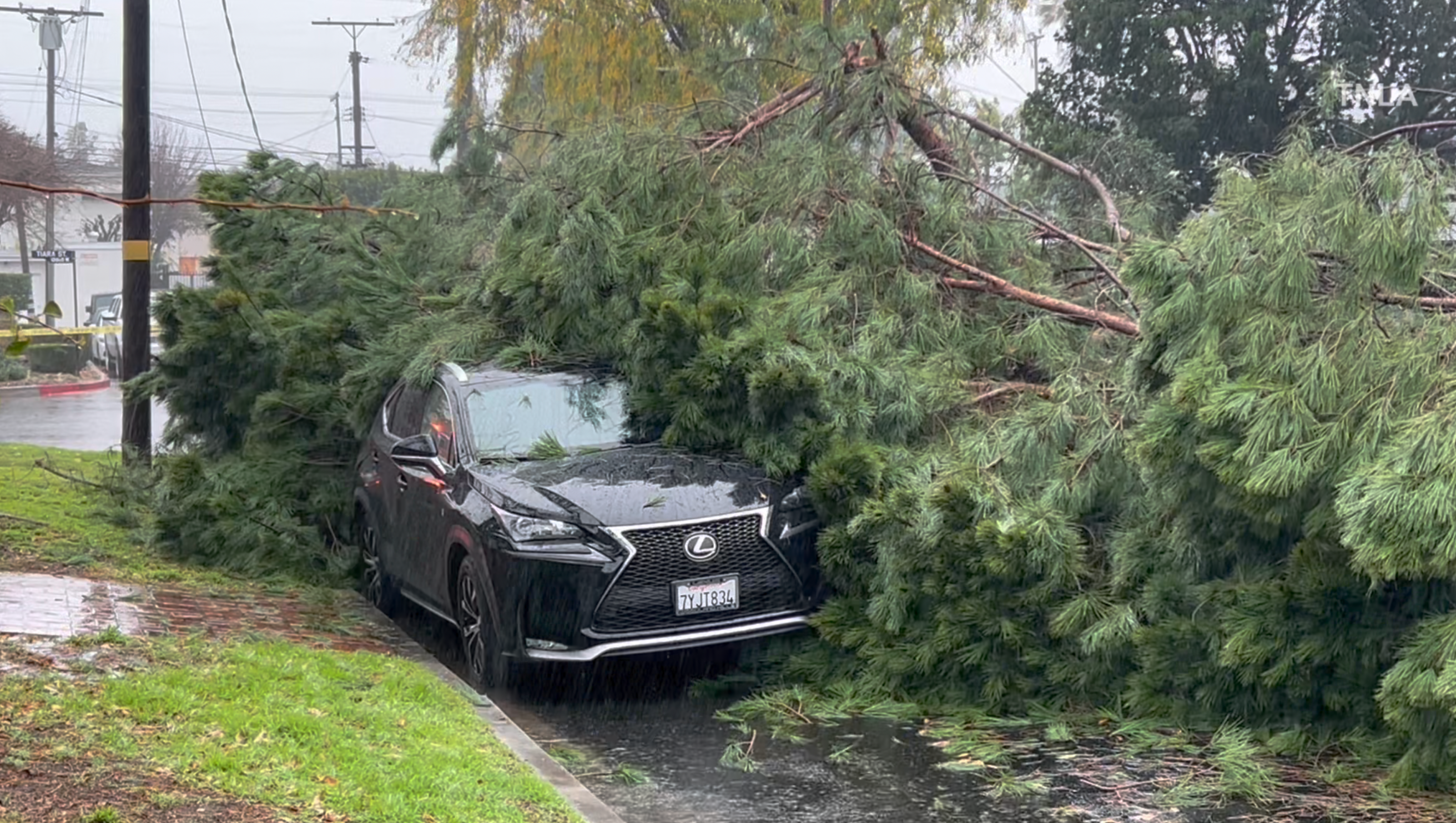
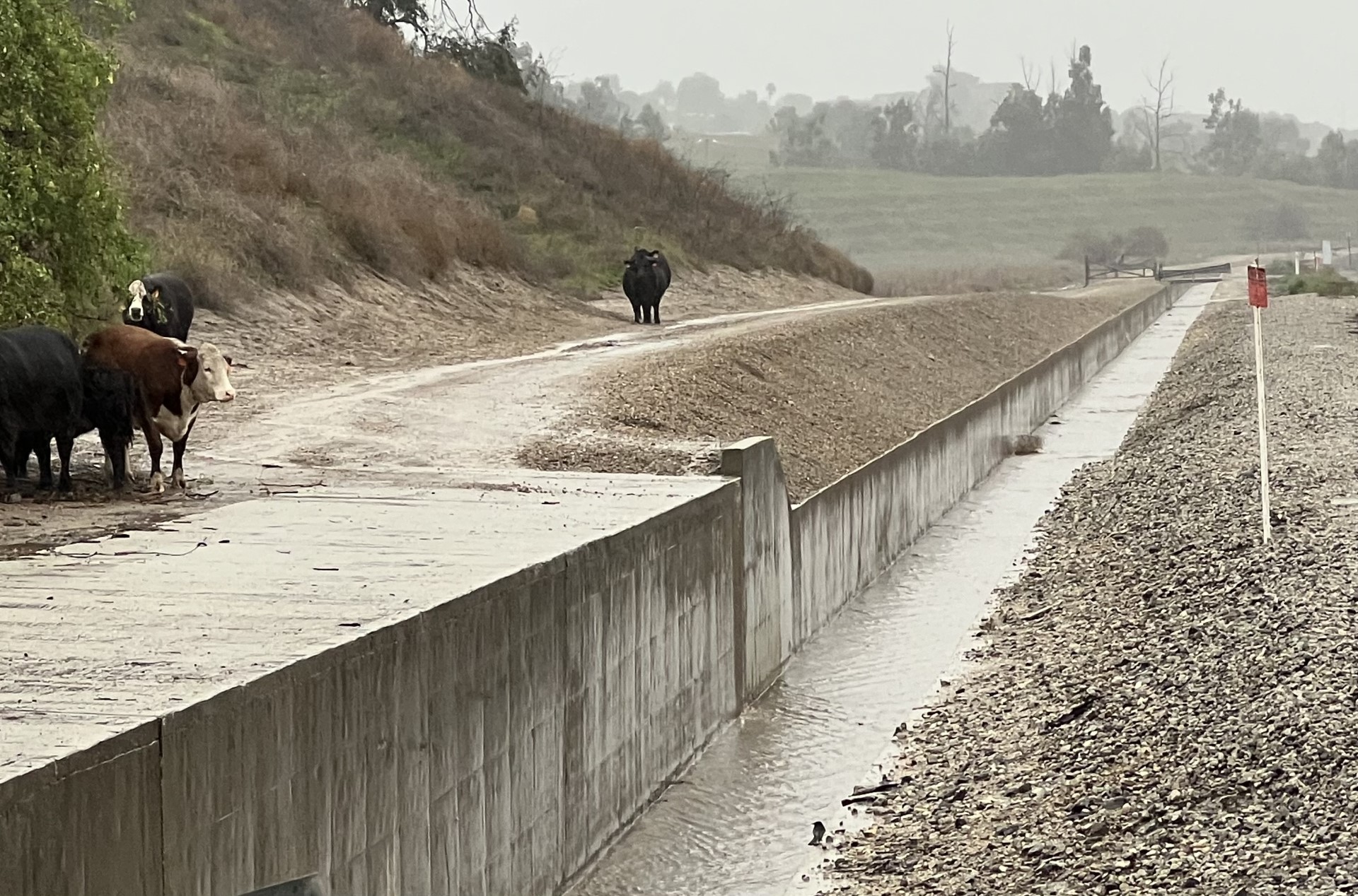
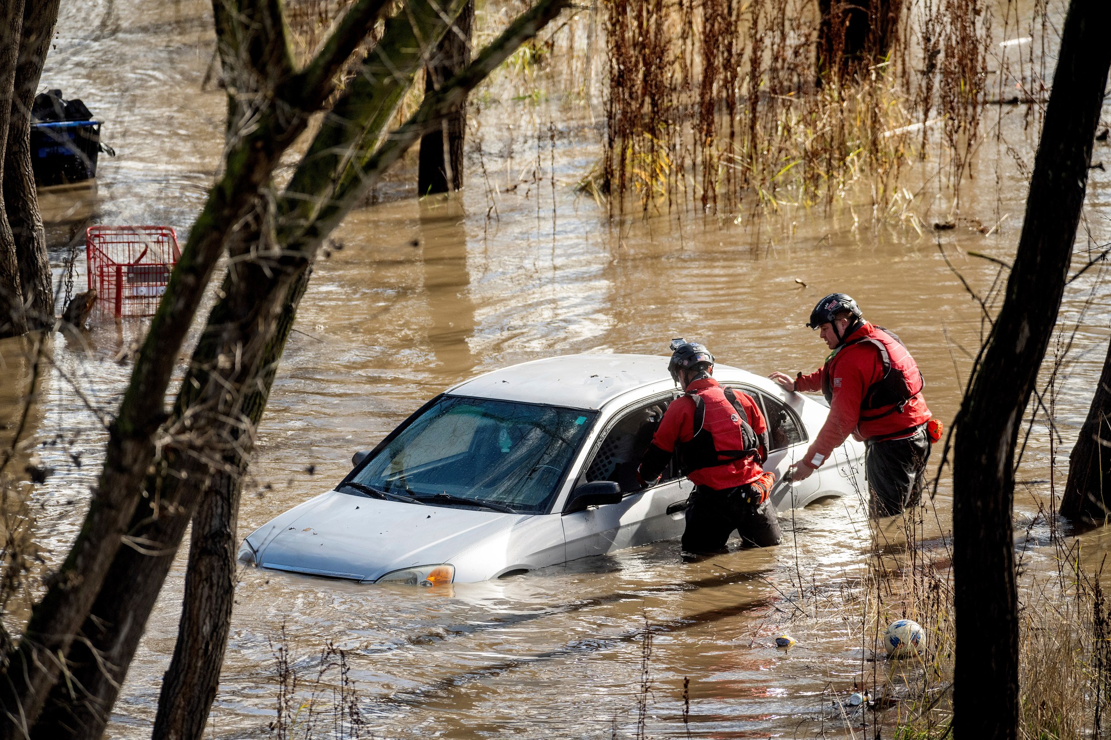
The storm has soaked ground already saturated from last week’s atmospheric river and has caused extensive flooding and mudslide damage.
California Gov. Gavin Newsom has declared a State of Emergency for Los Angeles, Orange, Riverside, San Bernardino, San Diego, San Luis Obispo, Santa Barbara and Ventura counties, authorizing a California National Guard response if needed.
Stay with KTLA 5, KTLA.com and KTLA+ for live team coverage of the storm.